Hydrographic Survey
Hydrographic Surveys Designed for Insight and Repeatability
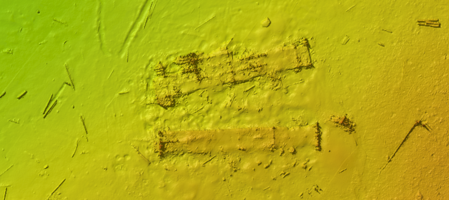
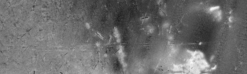
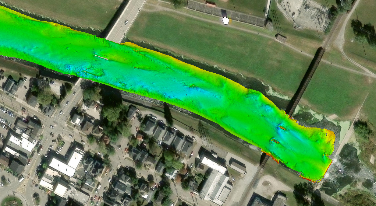
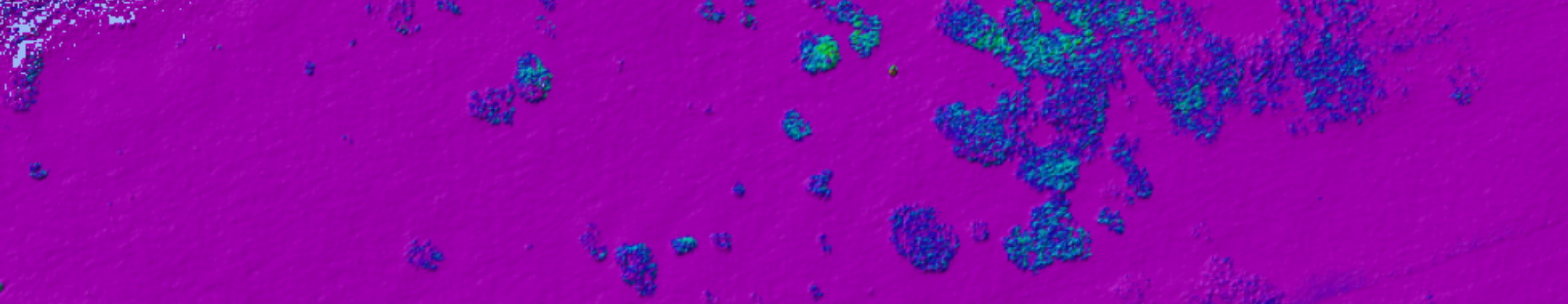
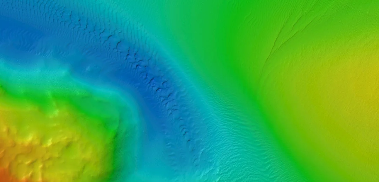
Our hydrographic survey capabilities focus on precision, adaptability, and a clear understanding of the seafloor. Using multibeam bathymetry, sidescan sonar, forward-looking sonar, and integrated geophysical sensors, we collect high-resolution data that shows both shape and surface conditions.
We operate in nearshore and shallow water environments where careful planning and the right equipment are essential, maintaining consistent coverage from the shoreline outward. By combining multiple data types and using repeatable methods, we deliver clear, defensible results that support confident decision-making.
Methods and Capabilities