

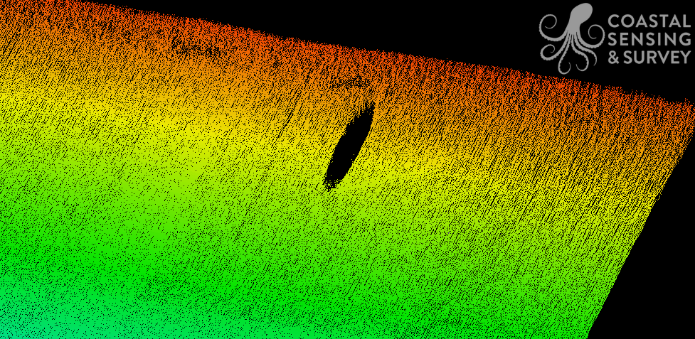
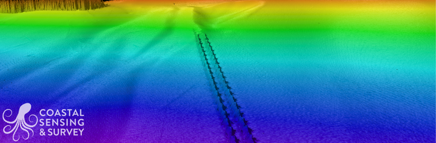
Bathymetry
Bathymetry is the foundation of understanding how the seafloor is shaped and how water moves across it. Using high-resolution multibeam systems we generate precise depth models that reveal slopes, channels, shoals, and submerged hazards in exceptional detail. This data supports safe navigation, dredging design, marine construction, habitat mapping, and infrastructure planning by providing an accurate picture of underwater topography.
High quality imagery translates to better engineering decisions, improved safety margins, and fewer costly surprises in the field. Bathymetry turns depth measurements into a clear, measurable framework for confident project planning.
Bathymetry Images
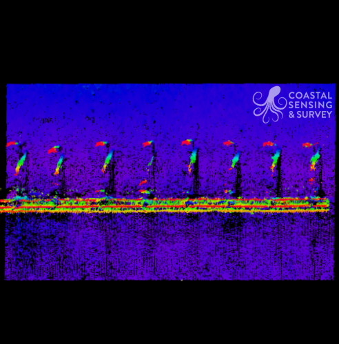
Asset Inspection

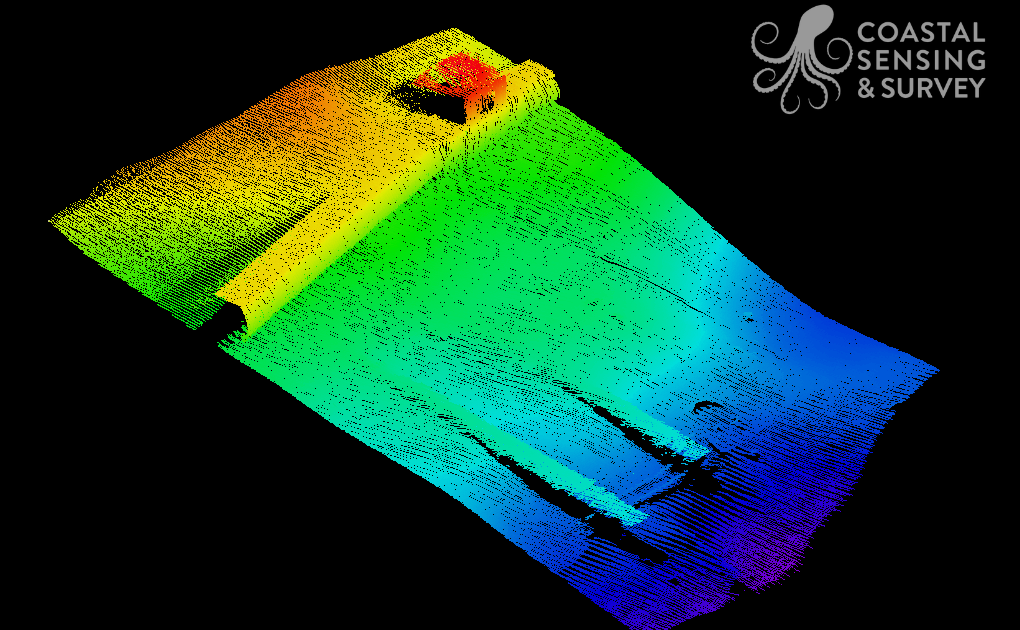
Wreck of the Boyden
Outfall on wall of Montlake Cut
Point Wells outfall
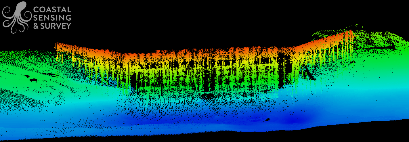
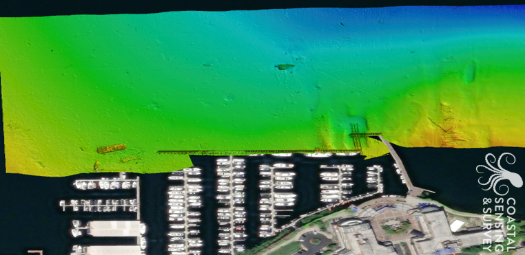
Harbor Village Marina Breakwater
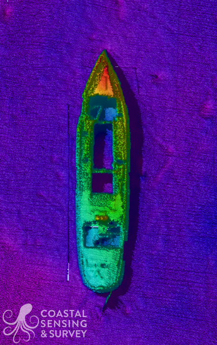
Wreck of the Boyden
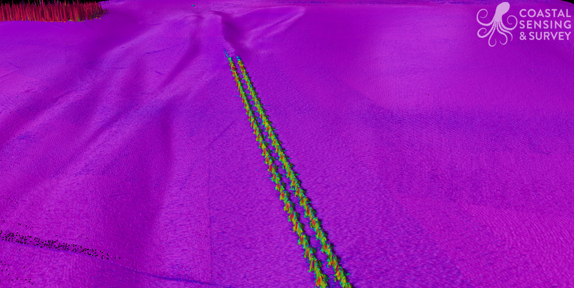
Matthews Beach deep pipe

Matthews Beach outfall joint
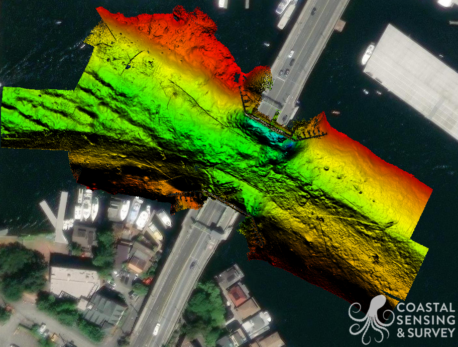
University Bridge
Uncertainty bathymetry of Point Wells outfall
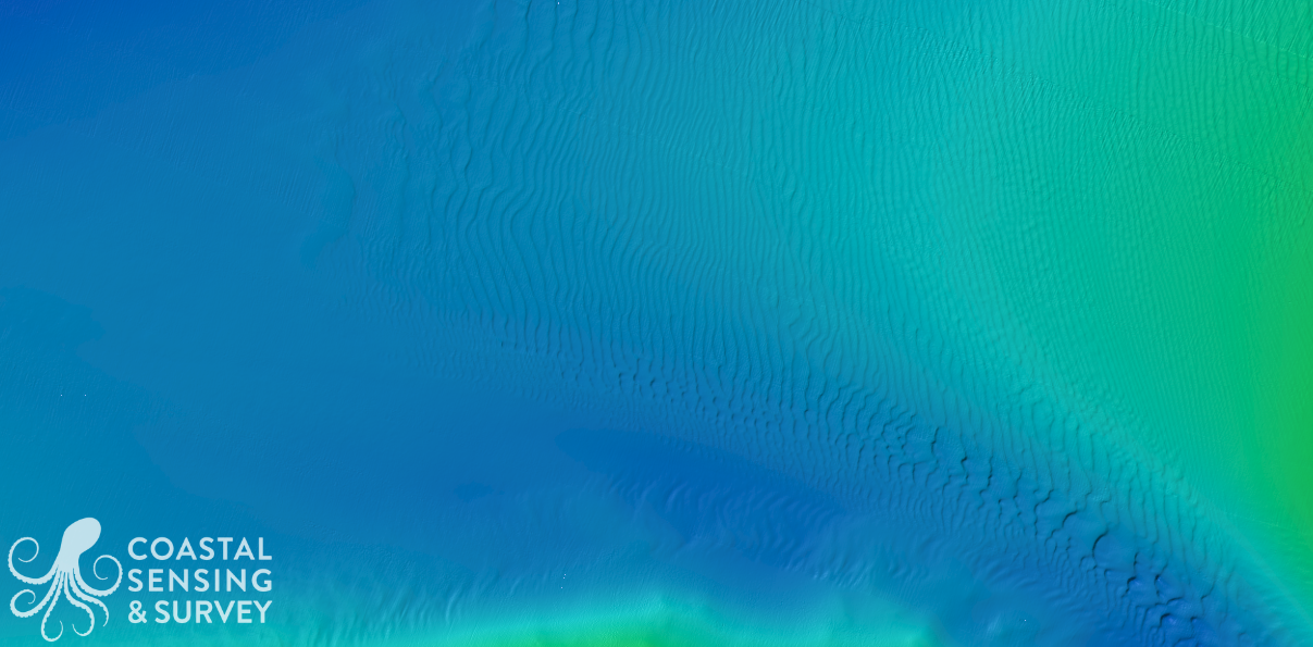
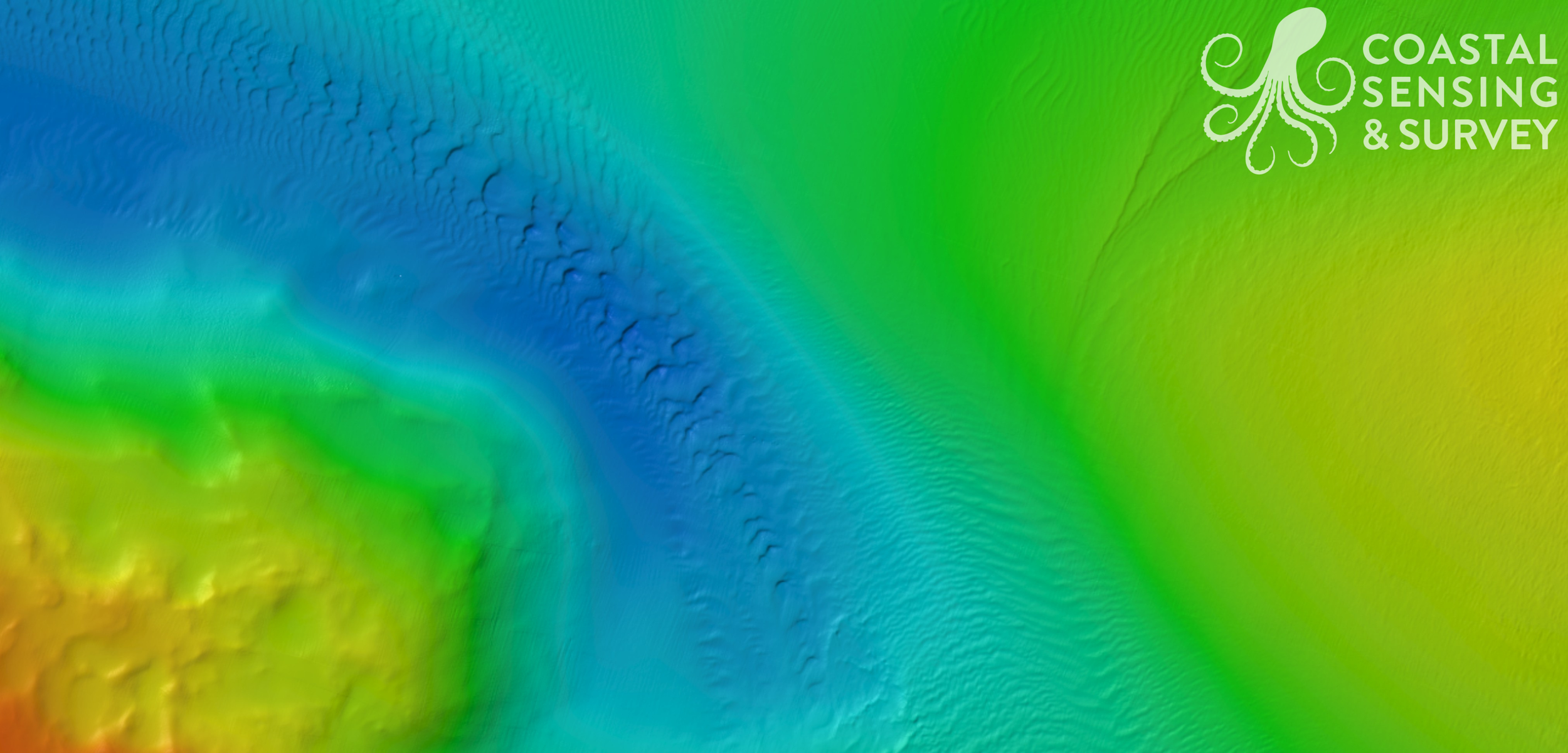
Area Bathymetry
Point Wells
Carillon Point
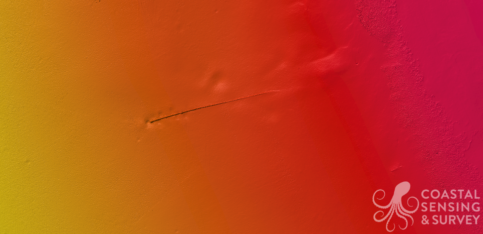
Alderwood Outfall
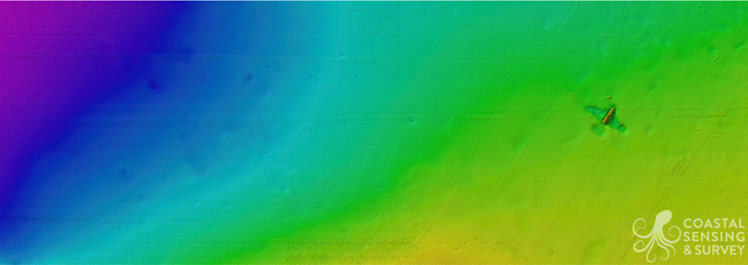
Wreck of PBM
University Bridge