Repeatable Survey Methodology
Repeatable survey methodologies are critical when monitoring change over time. In certain instances measuring change is just as important as understanding current conditions. By maintaining and documenting consistent equipment configurations, acquisition parameters, and control points, we ensure datasets are directly comparable across survey intervals. This allows clients to accurately quantify sediment movement, scour development, habitat shifts, or infrastructure condition changes with confidence. Well planned repeat surveys reduce ambiguity and eliminate guesswork when evaluating trends. The result is defensible, time-series data that supports long-term planning, regulatory compliance, and proactive asset management.
Repeatability & Comparison Insights
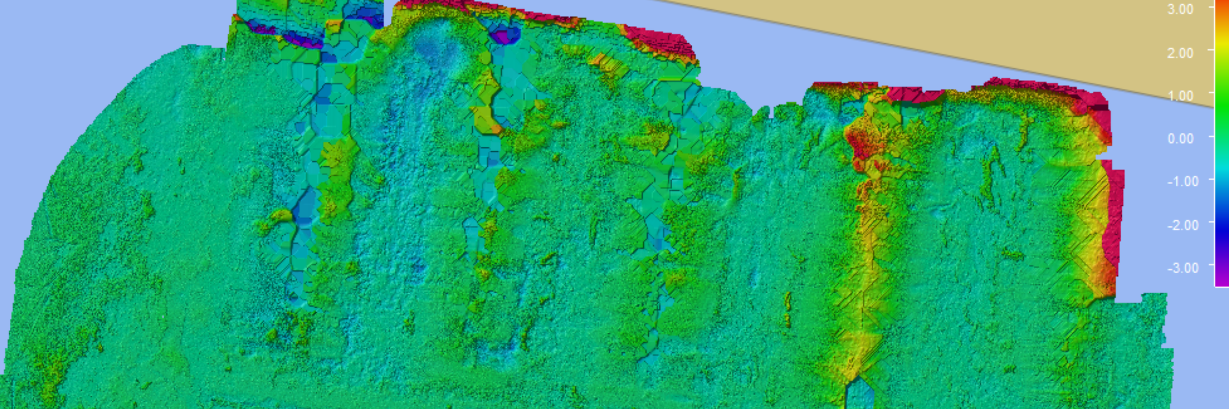
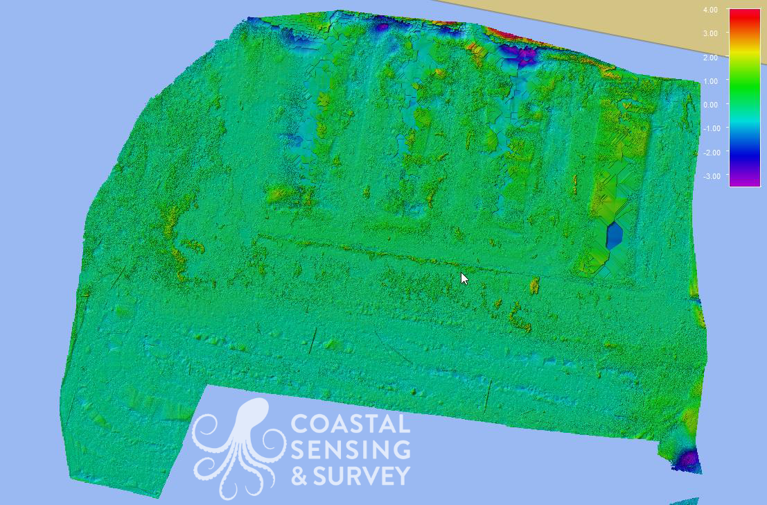
Harbor Village Marina Accretion Assessment
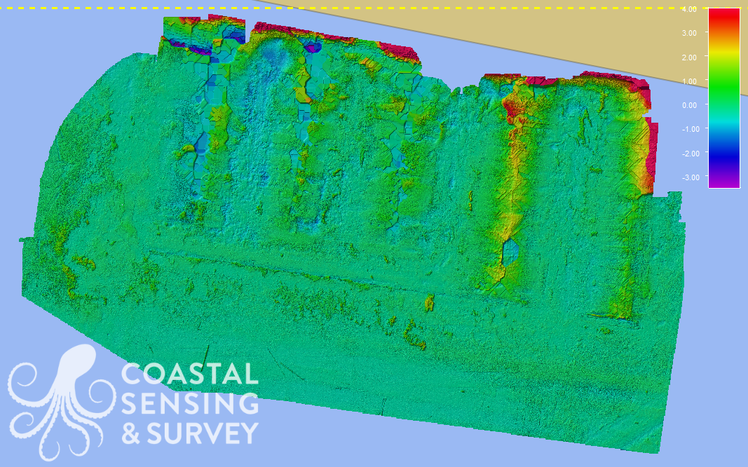
Harbor Village Marina: The height differences are the year over year changes in the lakebed surrounding the marina using overlayed images. This is the culmination of 4 surveys conducted over 8 years.
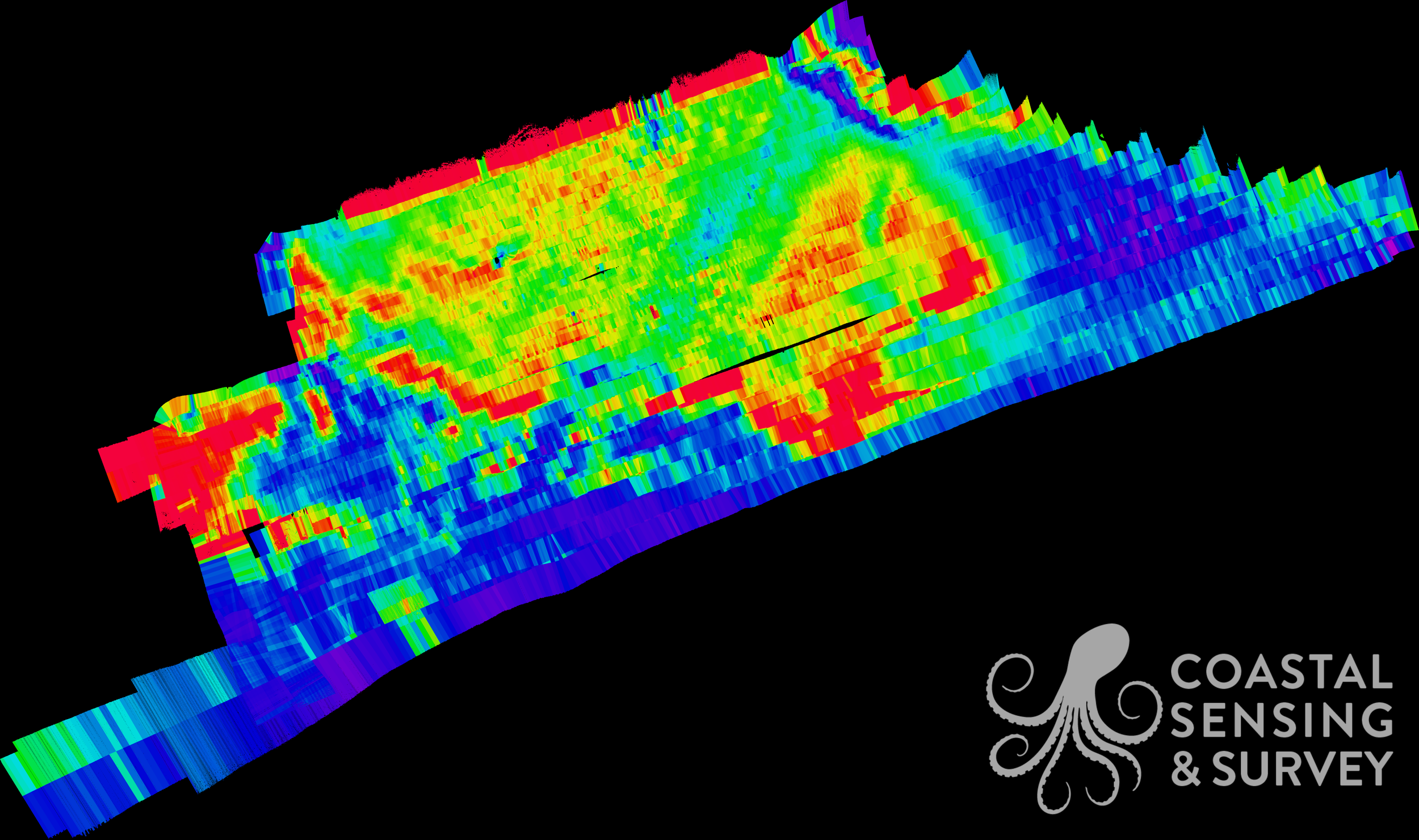
Hat Island
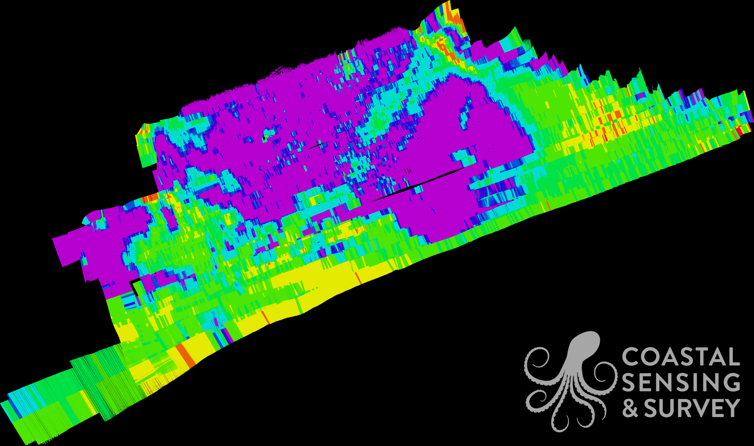
Hat Island: This ARA Calibrated Beam Backscatter image represents sand infiltration into a bull kelp bed lowering the habitable seafloor for the kelp. The purple section is the kelp bed and the green swath flowing through the middle is the sand infiltration.