Coastal & Environmental
Monitoring Programs
Long-Term Monitoring for Evolving Environmental & Coastal Systems
Coastal environments are constantly changing. Sediment moves, habitats shift, and underwater conditions change seasonally and year over year. The Hat Island monitoring project demonstrates how integrated bathymetry and calibrated backscatter data can be used to create a repeatable record of environmental conditions that supports long-term coastal understanding.
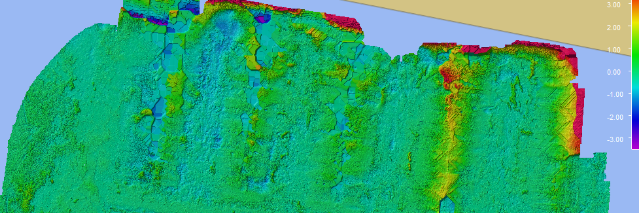
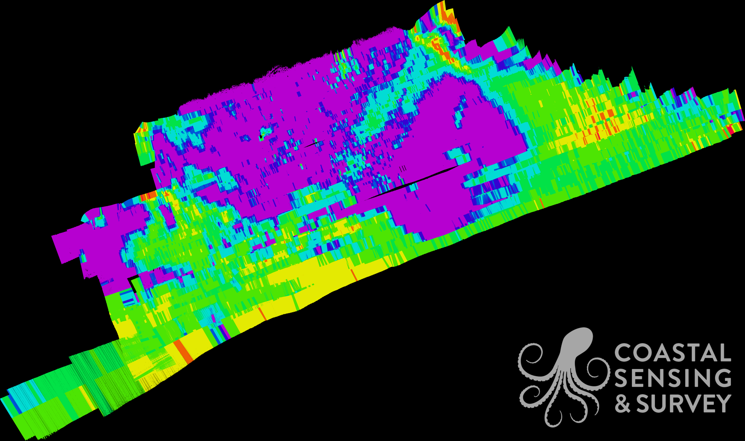
High-resolution bathymetric imagery of seabed around Hat Island

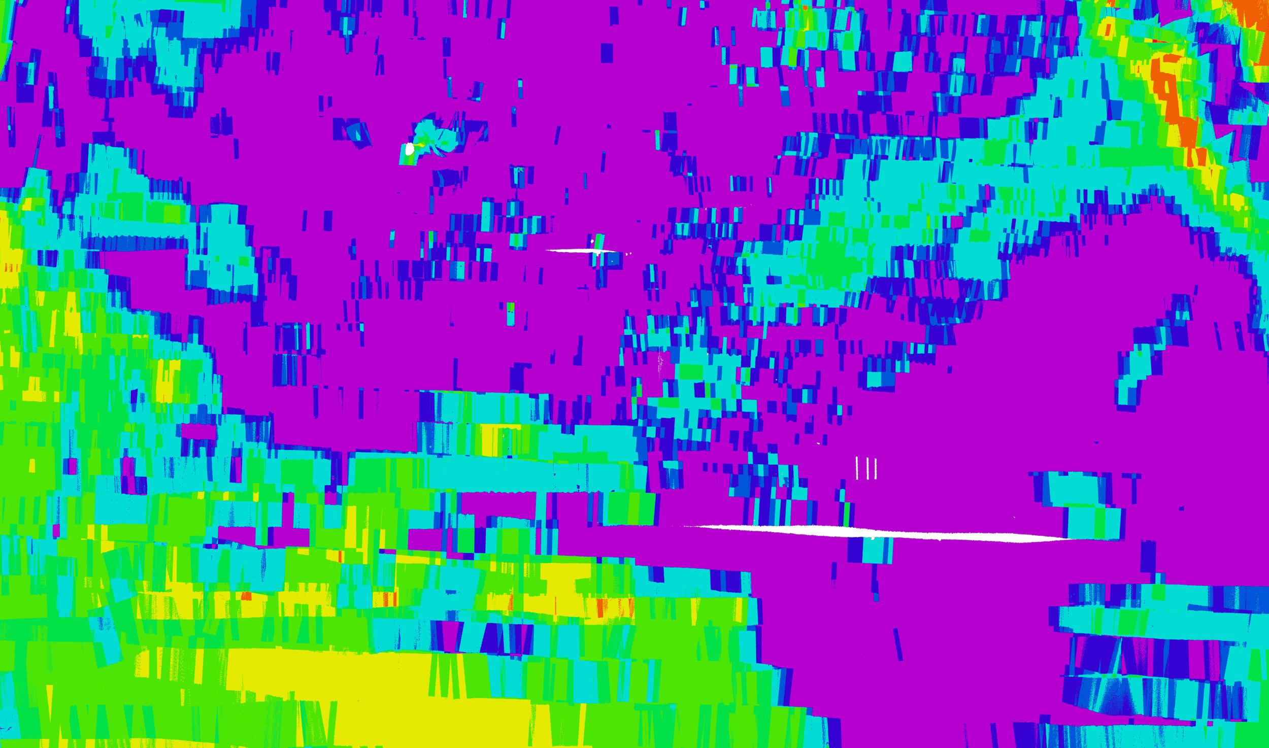
Close-up Bathymetry images of hold-fast rock structures
Identifying Environmental Features
Integrated bathymetry and backscatter datasets revealed sediment variation, habitat boundaries, and hold-fast structures critical to kelp growth and environmental stability.
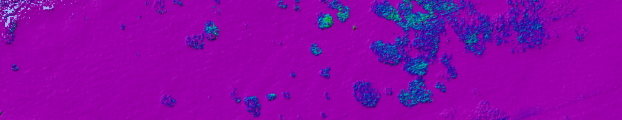
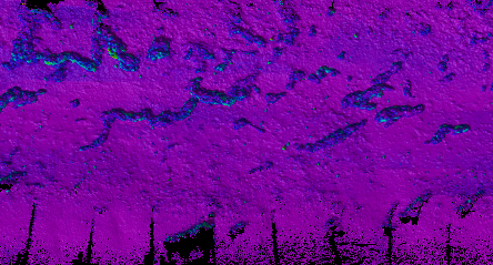
Angle Range Analysis effectively demonstrates sediments within the growth area. Findings were confirmed through visual and physical ground truthing. The teal/green swath represents sand infiltration into the purple holdfast area.
Establishing The Baseline
Using multibeam bathymetry and calibrated backscatter, we created a high-resolution baseline of the site’s seafloor conditions, habitat extents, and substrate composition. This dataset established a baseline mapping of substrate, habitat and morphology.
Repeatable Monitoring
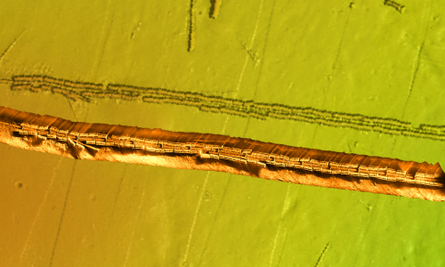
Max Backscatter Image of Holdfasts
Survey methods and positioning systems were designed for repeatability, allowing datasets collected over time to be directly compared with confidence. Consistent acquisition improves clarity in long-term monitoring efforts.

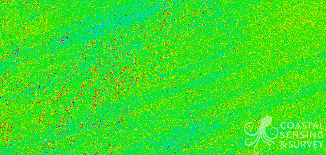
Backscatter Mosaic of Eelgrass Beds
Multi-Sensor datasets provide a clearer understanding of underwater conditions than a single data source alone.
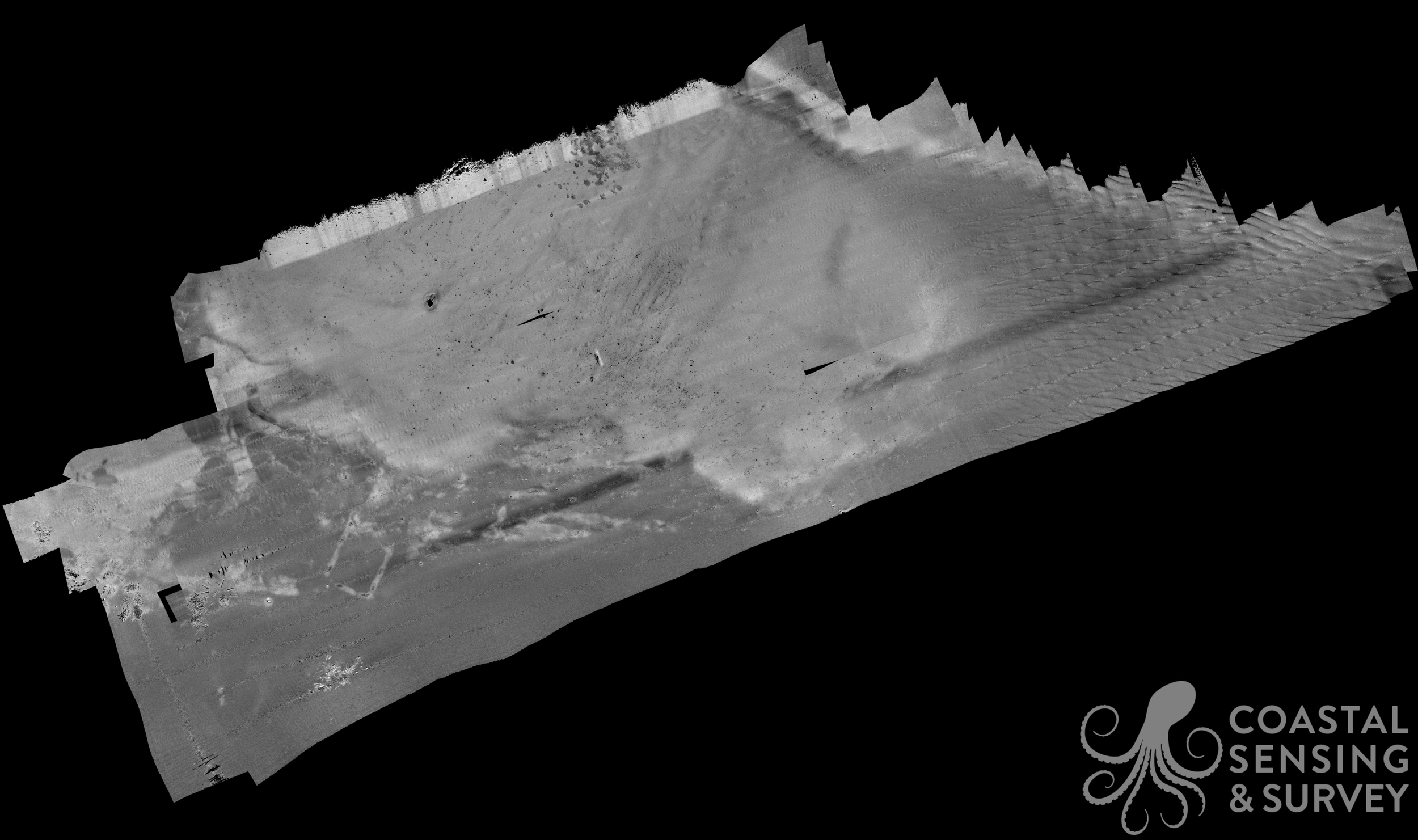
Calibrated Beam Backscatter Mosaic
Supporting Long-Term Coastal Understanding
The result is a repeatable, defensible dataset that supports habitat management and long-term environmental planning.