
Nearshore & Shallow Water
Nearshore and shallow water surveys are often some of the most challenging environments to work in. Variable tides, breaking surf, vessel draft limitations, coastal slope, and rapidly changing bottom conditions can all impact data quality and safety. Success in these areas requires compact, adaptable equipment, precise positioning, and careful survey design to maintain coverage and resolution. When executed well, shallow water data fills a critical gap between land and offshore datasets, providing a continuous understanding of coastal processes, infrastructure interfaces, and habitat zones. That continuity allows for clearer insight into dynamic coastal environments where change happens quickly and decisions carry long-term impact.
Nearshore & Shallow Water Insights
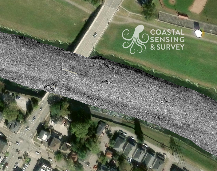
Troy Ohio River
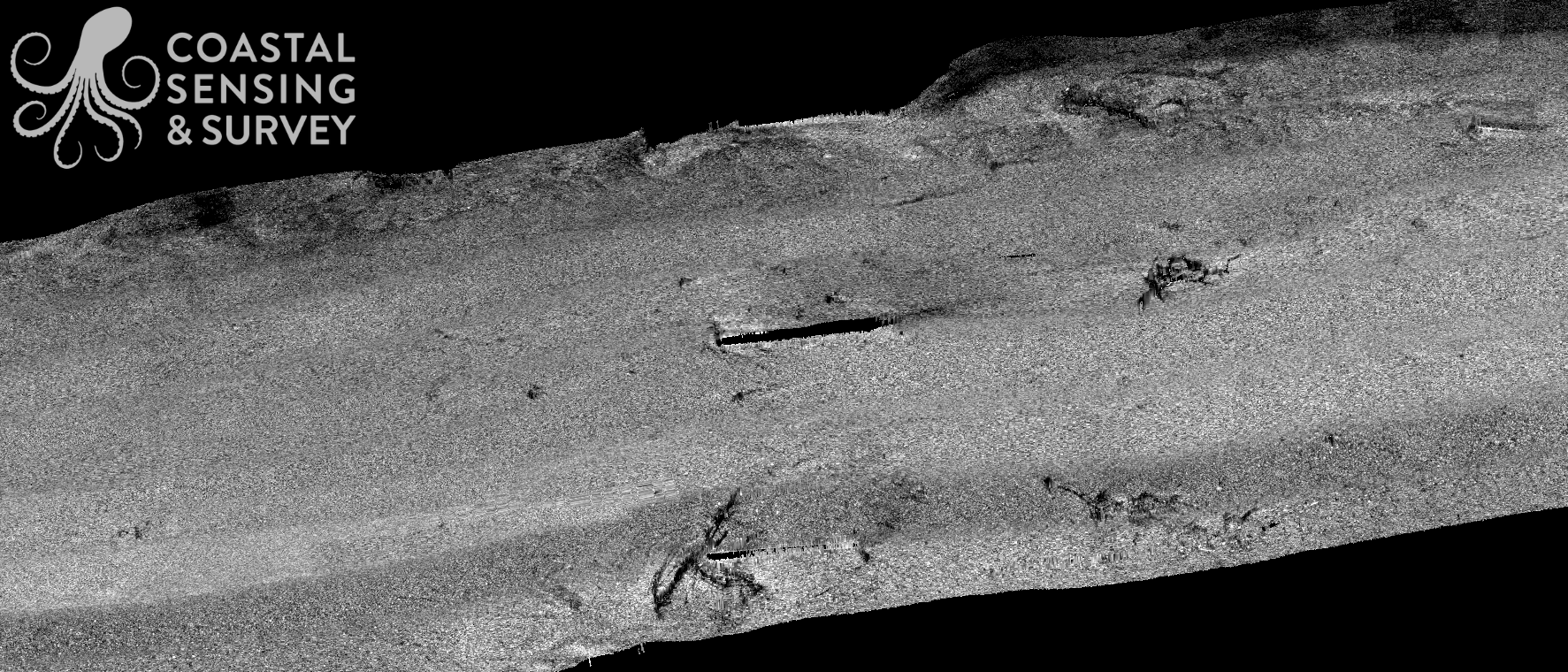
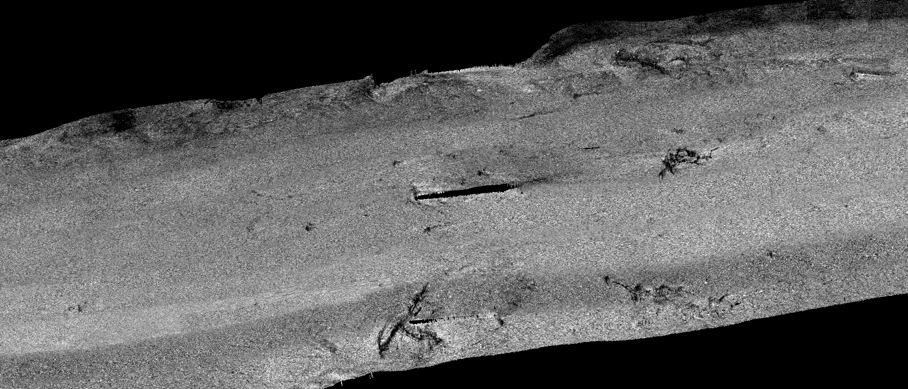
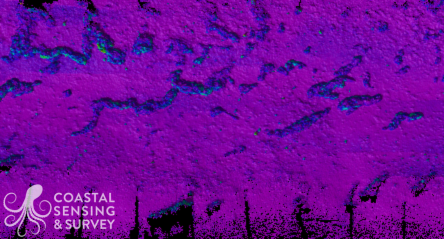
Troy River: backscatter
Troy River: backscatter
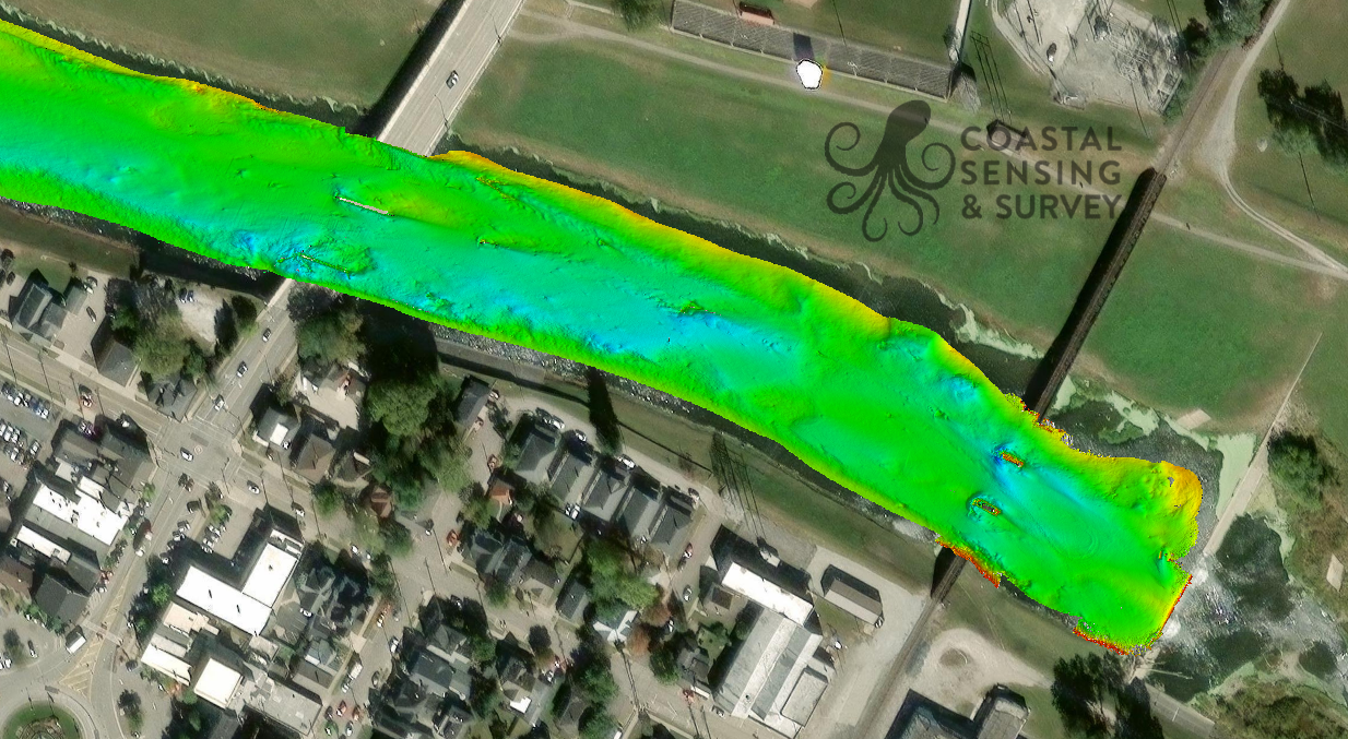
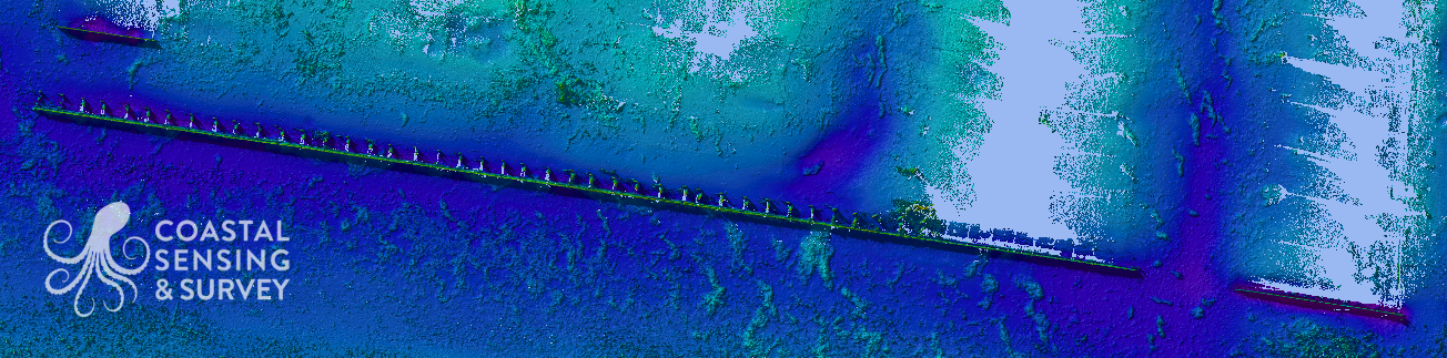
Troy River: Bathymetry
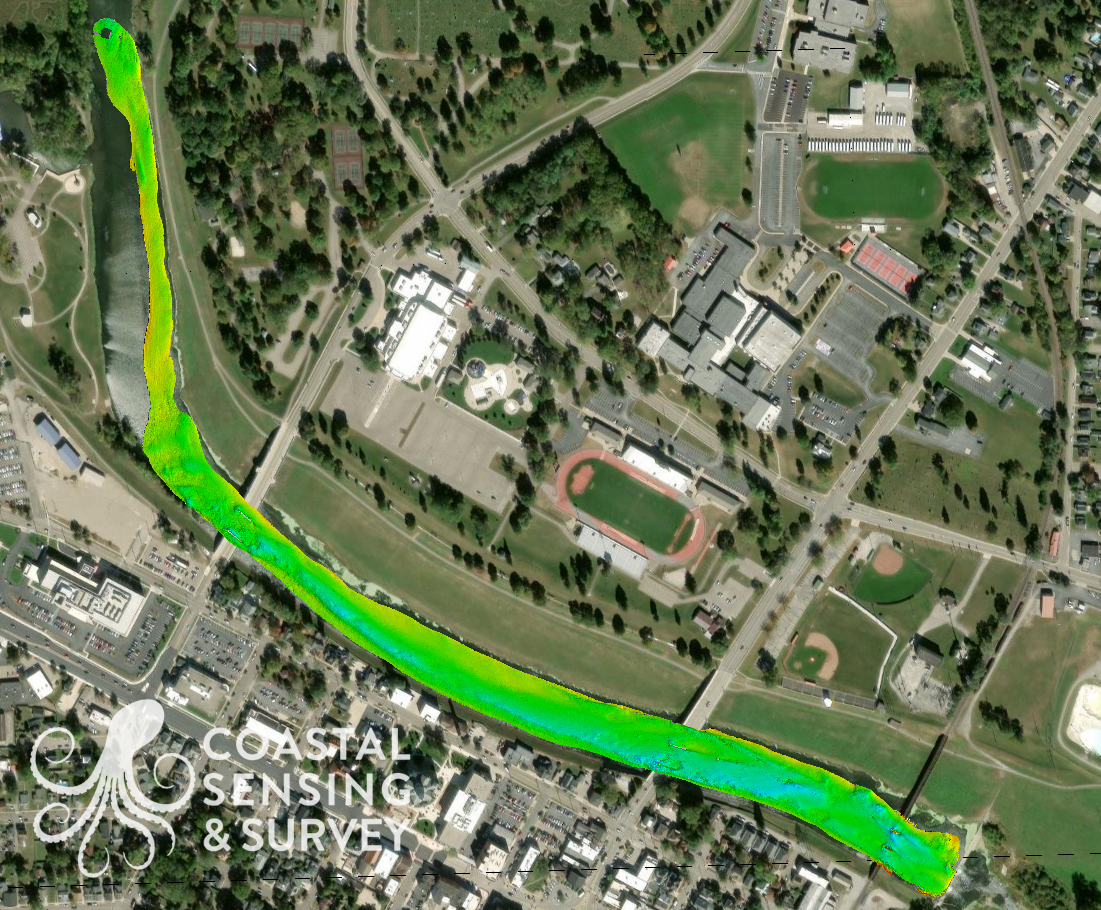
Troy River: Bathymetry
Eagle Harbor
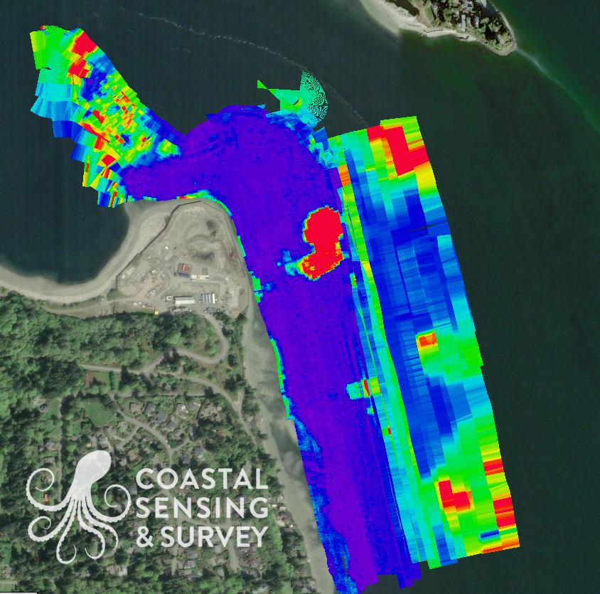
Eagle Harbor
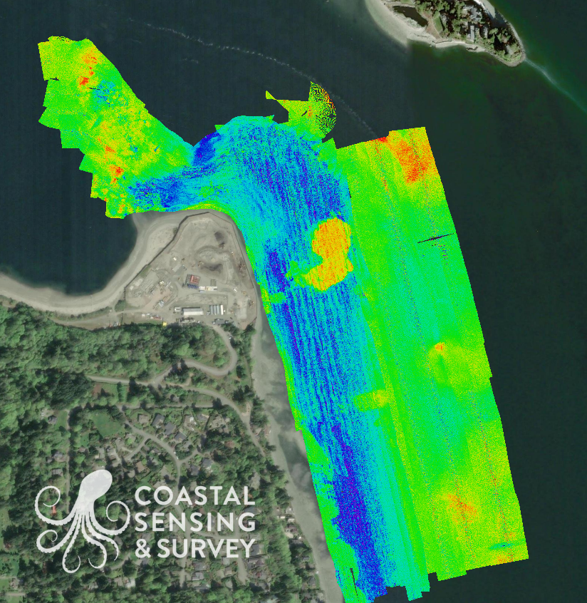
Eagle Harbor
Eagle Habor

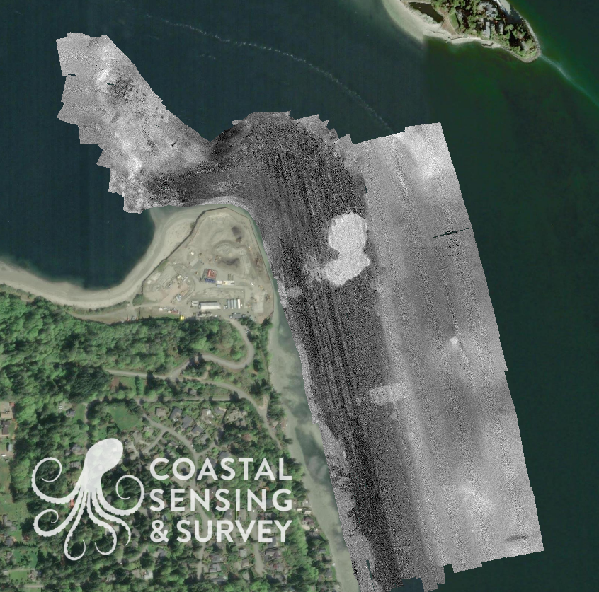
Eagle Harbor: Outflow
Harbor Village Marina
Harbor Village Marina

Harbor Village Marina: Vegetation
Harbor Village Marina: Vegetation