
About Coastal Sensing
Coastal Sensing is a hydrographic and marine geospatial services company delivering high-resolution, decision-ready data in complex coastal, offshore, and inland environments. We support infrastructure and environmental projects through integrated survey and sensing solutions designed to reduce risk, improve efficiency, and support better decisions. Built for challenging conditions, we combine advanced technology with experienced field teams to deliver clear, defensible results.
We partner with engineers, developers, regulators, and asset owners to turn complex marine environments into actionable insight. Our work supports the full lifecycle of marine projects, from site characterization and permitting through construction, inspection, and long-term asset management.
The Team: Here at Coastal Sensing we couldn’t do the fantastic work we do without a powerhouse group of individuals helping bring clarity and understanding to our subsea environment.
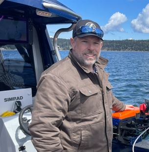
Ben Griner, Principle
Starting from a search focus in 2003 Ben has grown Coastal Sensing in to specialty sensing and survey org. He brings a background in technology development to more than 20 years of field work with Coastal Sensing.
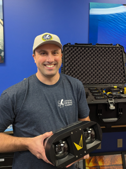
Darren Keegan, CFO
Darren joined CSAS in 2023, to guide growth and an aggressive technology investment program. Darren oversee Coastal’s technology investment and capability growth.
Our Partners

Statewide Land Surveying
We are proud to partner with Statewide Land Surveying out of Gresham Oregon. A team of experts in their field, Statewide offers Coastal support in survey control operations, allowing Coastal to ensure the accuracy of projects that call for land-based reference points.
PLS Survey Control & Services: As our trusted partner, Statewide provides professional land survey (PLS) control and certification services across Washington, Idaho, Oregon, and California. Their expertise ensures precise measurements and compliance with regional standards.
Drafting Services: Statewide offers first-round drafting and technical drafting services, creating custom templates for professional data presentation tailored to the construction trade. These services are part of their comprehensive package, designed to meet the specific needs of clients.
Advanced Survey Technology: Through Statewide, we offer statewide shallow USV (Unmanned Surface Vehicle) trackline bathymetric surveys and survey-grade, foliage-penetrating drone-based LiDAR. This technology delivers detailed and accurate geospatial data for a variety of projects.
In-the-Field Consulting Partners

Induced Polarization Associates
Marine Induced Polarization provides personnel and equipment to locate polarizable materials in marine environments. Their innovative approach and state-of-the-art technology allow them to deliver high-resolution subsurface imaging, helping clients to make informed decisions in their projects. Whether it's for mineral exploration, environmental monitoring, or marine archaeology, Induced Polarization Associates is committed to delivering precise, reliable, and cost-effective geophysical solutions tailored to meet the unique challenges of the marine environment.