Marine Geophysical Survey
Subsurface Insight for Informed Marine Decisions
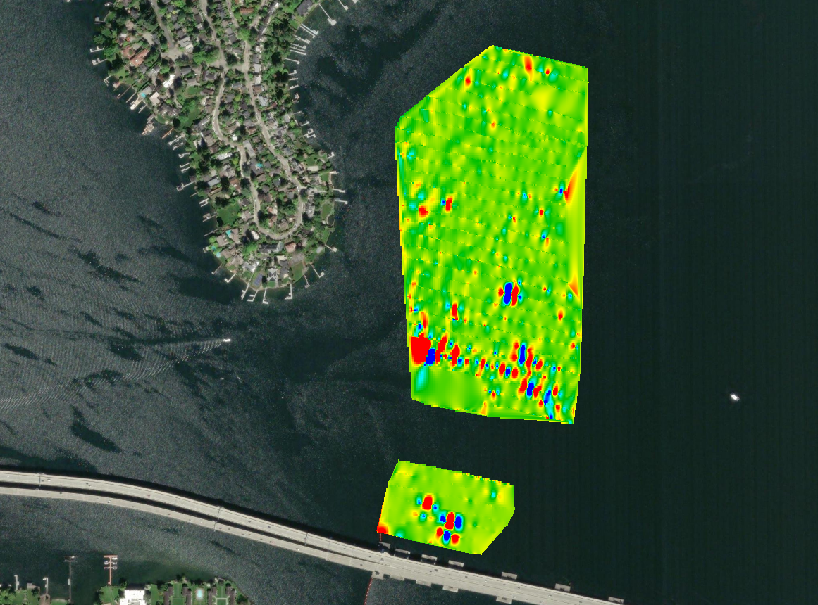
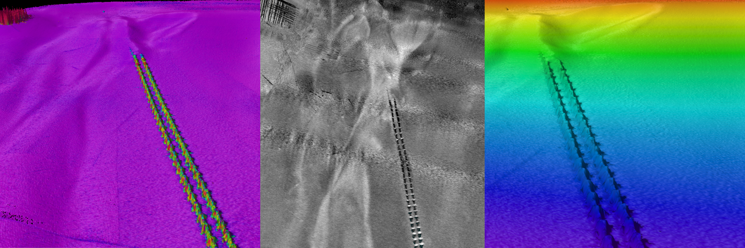
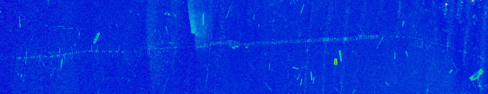
Our marine geophysical survey capabilities are designed to understand not just the seafloor surface, but what lies beneath and within it. Calibrated Beam Backscatter analysis adds material context by differentiating sediment types and hard bottom, while magnetometry detects ferrous anomalies that may be buried or otherwise invisible in acoustic imagery. When these systems are integrated into a coordinated survey design, the datasets strengthen and validate one another.
This multi-sensor approach reduces uncertainty, improves target confidence, and supports more informed routing, engineering, and risk assessment decisions. The result is a comprehensive geophysical picture that helps guide planning before construction or installation begins.
Methods and Capabilities