
Purpose built to provide fast, efficient water access for shallow & deep water.
Coastal Sensing operates a growing fleet of specialized survey vessels designed for high-resolution data collection in coastal and nearshore environments. Our vessels are configured to support a wide range of survey objectives, from shallow nearshore environments to complex offshore conditions. Each platform is selected and equipped based on project requirements, ensuring efficient data collection and high-quality results.
Across the fleet, vessels share a consistent sensor setup, including hull-integrated
Multi-spectral chirp
Sidescan
Forward-looking obstacle avoidance sonar
Dynamic positioning
This consistency ensures reliable data quality and efficient execution across a range of survey conditions.
Fleet Philosophy: Our vessels are selected and configured to match mission requirements, environmental constraints, and data quality objectives. We ensure the right platform is selected for your project rather than a one-size-fits-all approach.
Aluma-weld
R/V Art Wright
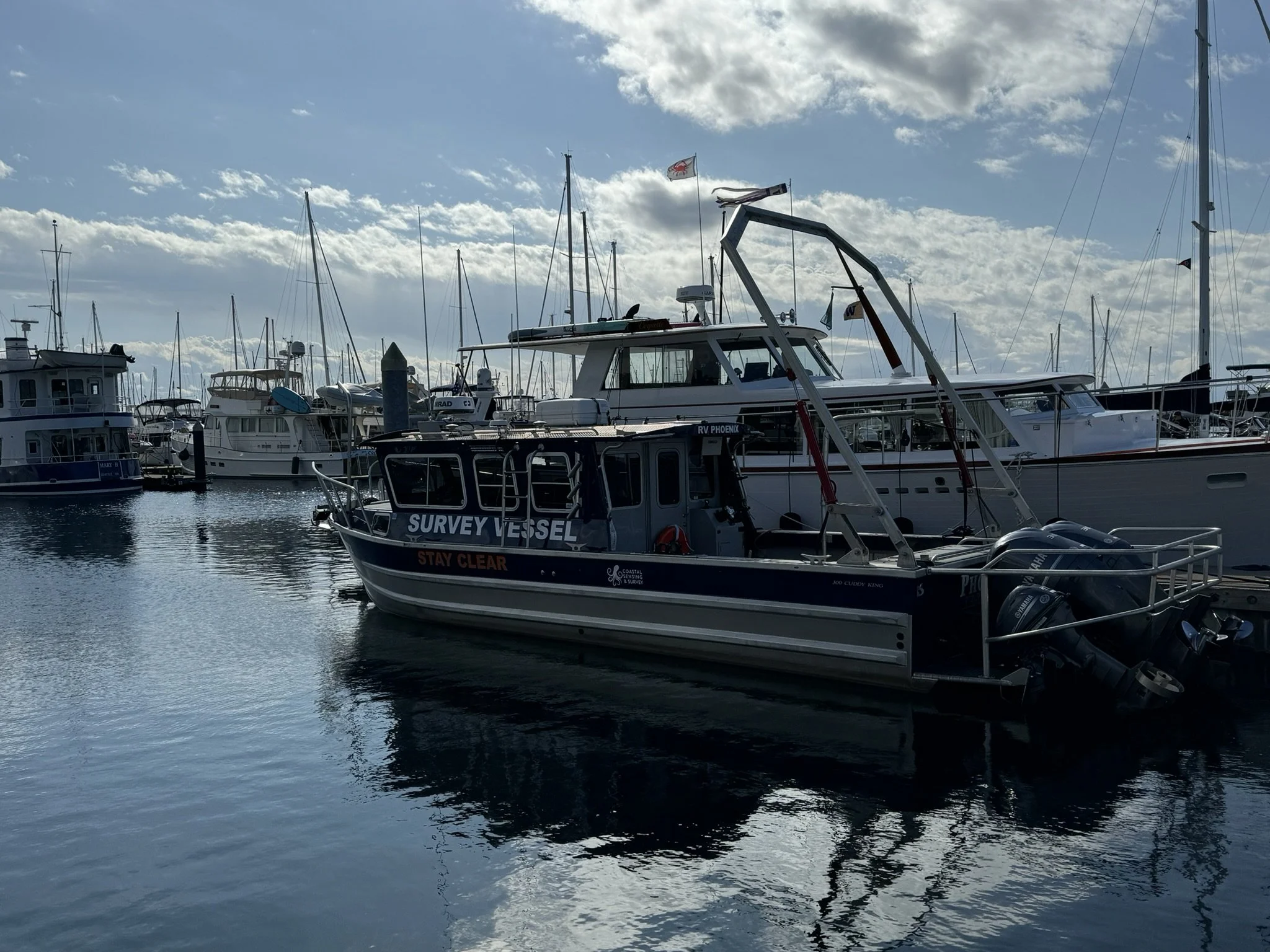
R/V Phoenix
Near Shore
Shallow Draft
✓
✓
✓
✓
✓
✓
Deepwater
✓
✓
Sidescan
✓
✓
ROV Services
✓
✓
✓
Bathymetry
✓
✓
✓
Backscatter
✓
✓
✓
Photogrammetry
✓
✓
FLS
✓
✓
Subbottom
✓
✓
✓
Magnetometry