Come EXPLORE what we do.
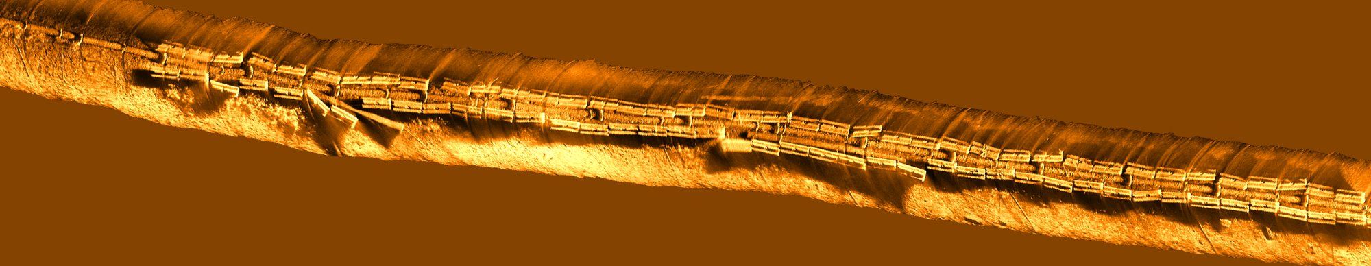
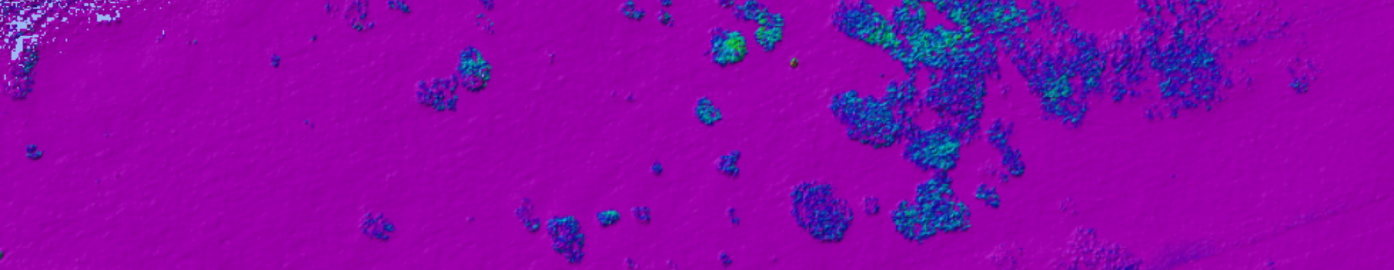
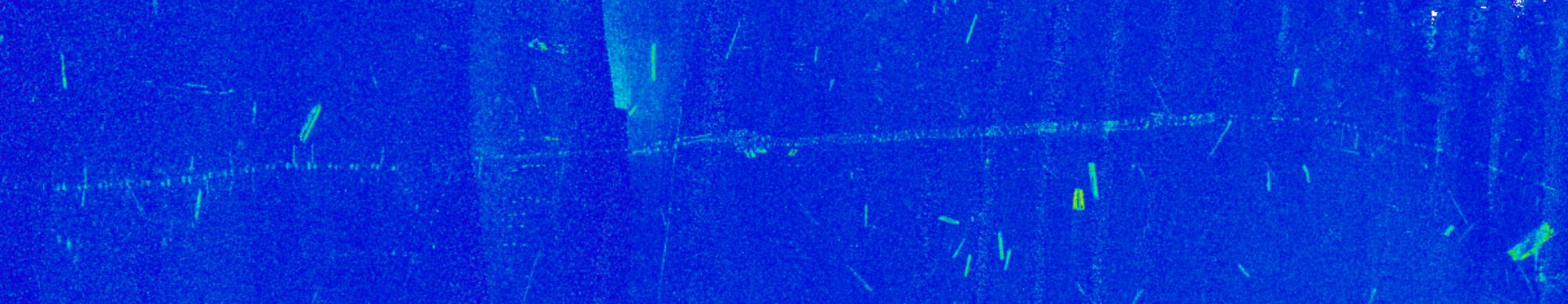
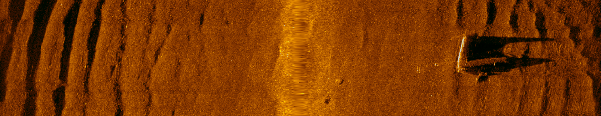
Coastal Sensing provides integrated hydrographic and marine geospatial services that reduce project risk, accelerate schedules, and deliver decision-ready data for complex marine environments.
Our Vision and Purpose
Coastal Sensing & Survey is specifically oriented to provide clarity in dynamic and challenging marine environments. We believe that better information leads to better decisions, reduced risk, and greater confidence in complex marine settings. Our work supports regulatory clarity, operational resilience, and long-term environmental understanding by delivering consistent, high-resolution data that stands up over time. By combining technical discipline with practical field experience, we help organizations navigate change with greater certainty.
We turn top hydrographic, geophysical, and photogrammetry technologies into actionable insights, not just deliverables.