
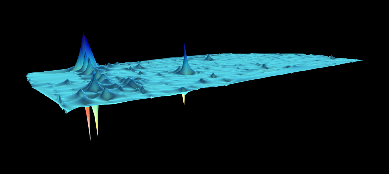
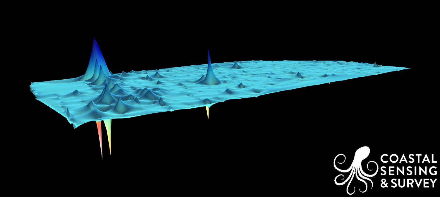
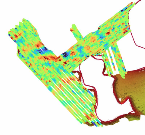
Magnetometry
Magnetometry is a critical component of marine surveys when the goal is to detect ferrous objects that may be buried or not visible in acoustic imagery. Using a hypermag we measure subtle variations in the Earth’s magnetic field to identify shipwreck debris, pipelines, cables, anchors, and potential unexploded ordnance. Its self-compensating design improves data quality by reducing magnetic noise from the survey platform, resulting in cleaner, more reliable targets.
Integrating magnetometer data helps refine survey planning, guide anomaly investigations, and reduce risk before construction or installation begins. When combined with bathymetry, sidescan, and subbottom data, magnetometry provides a more complete and defensible understanding of site conditions.
Magnetometry Images
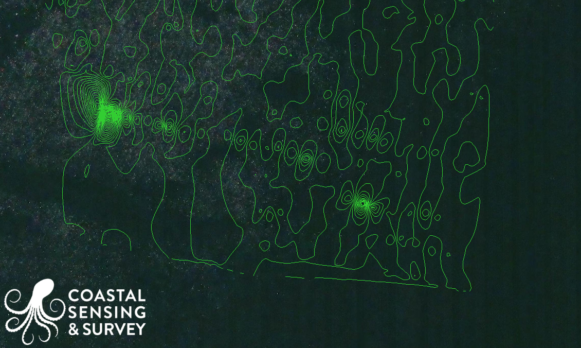
Webster Point
Carillon Point
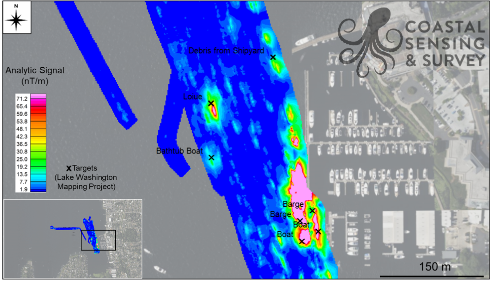
Lake Washington Shipyard: Mag Residual Field
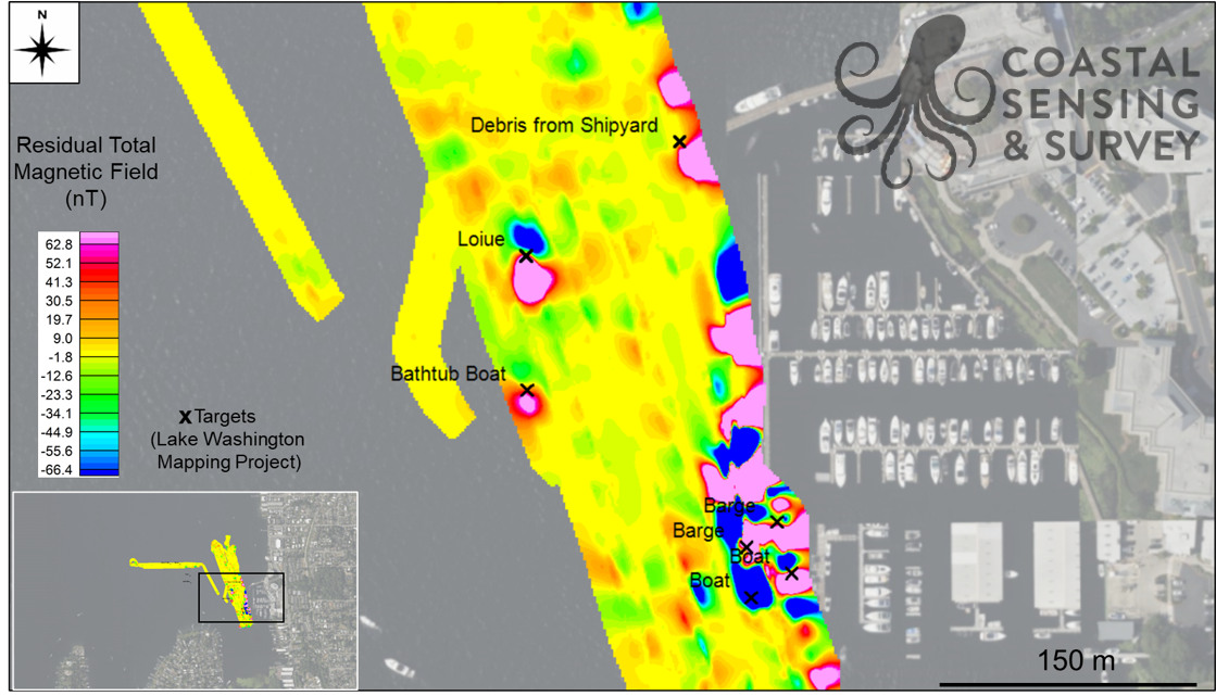
Lake Washington Shipyard: Magnetometry Field
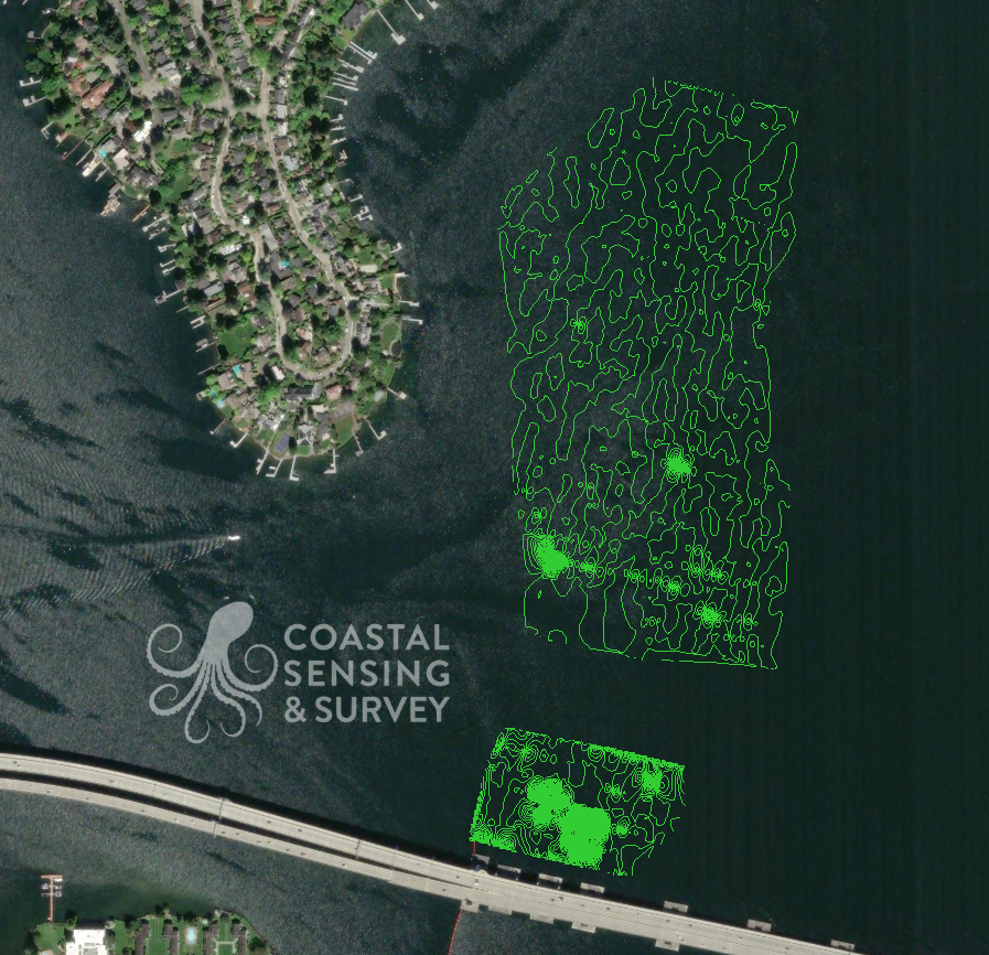
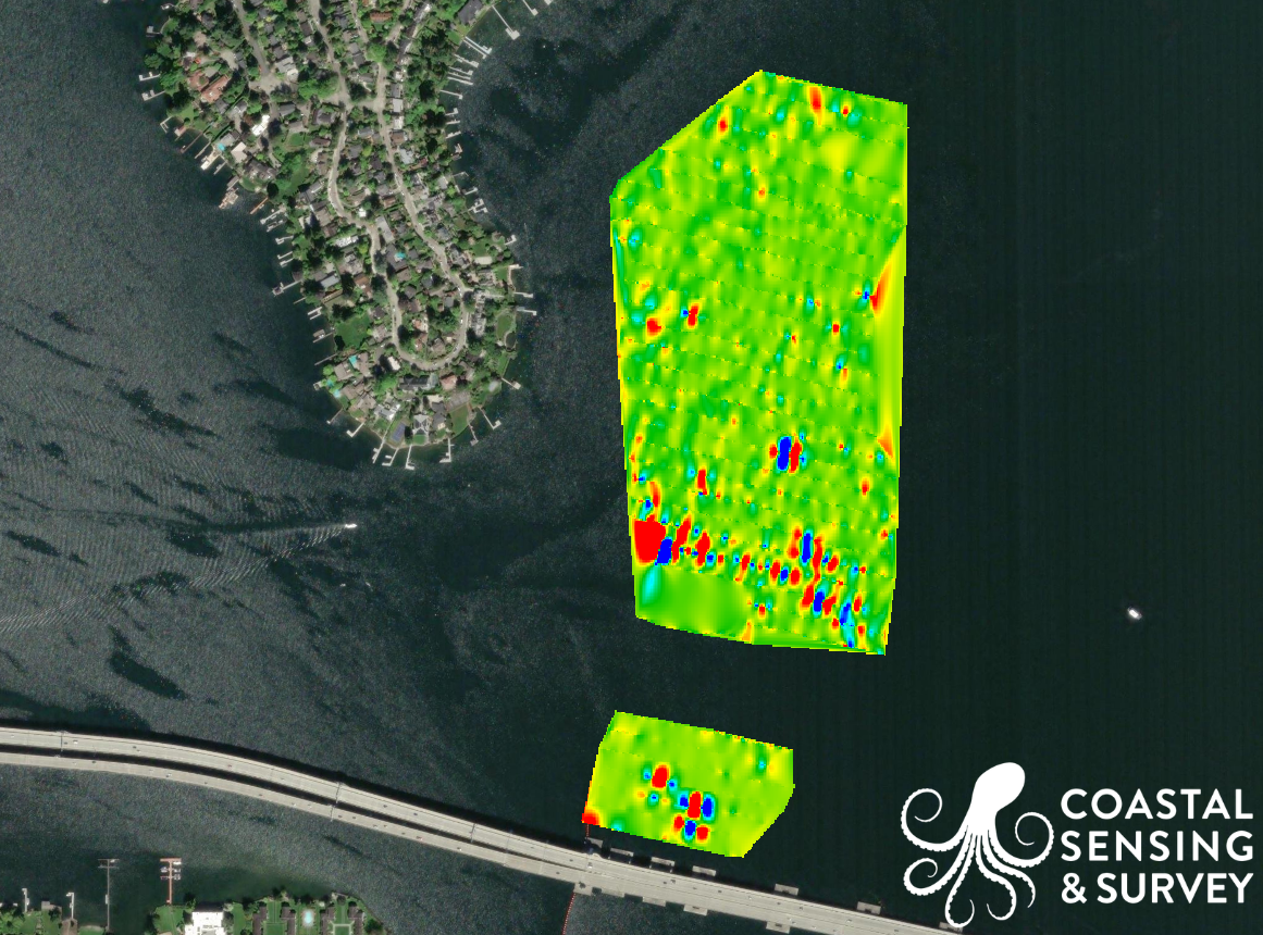
Area Mapping
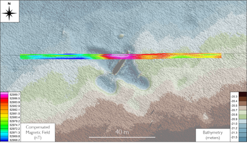
PBM Mag overlay
Area Mapping with magnetometry