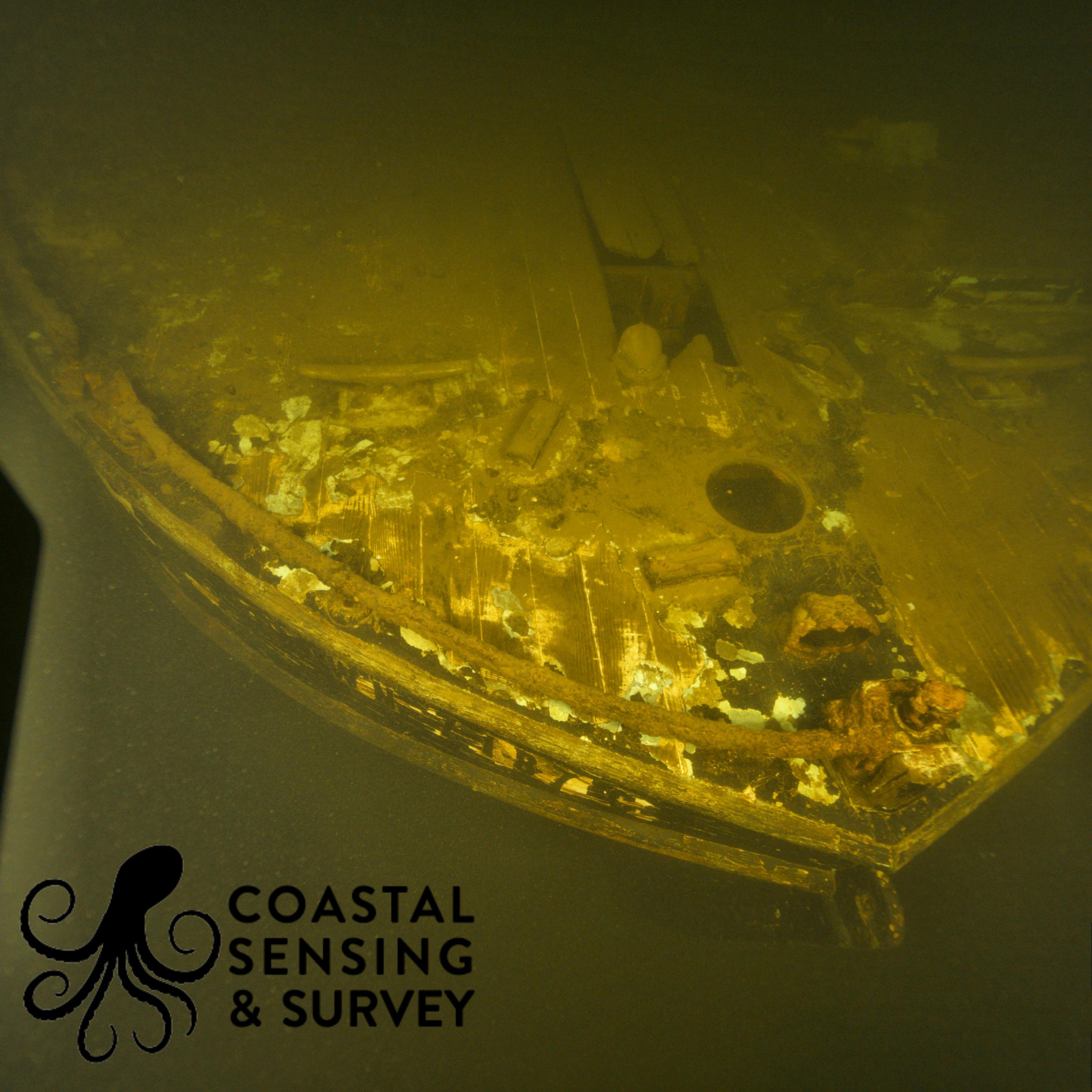
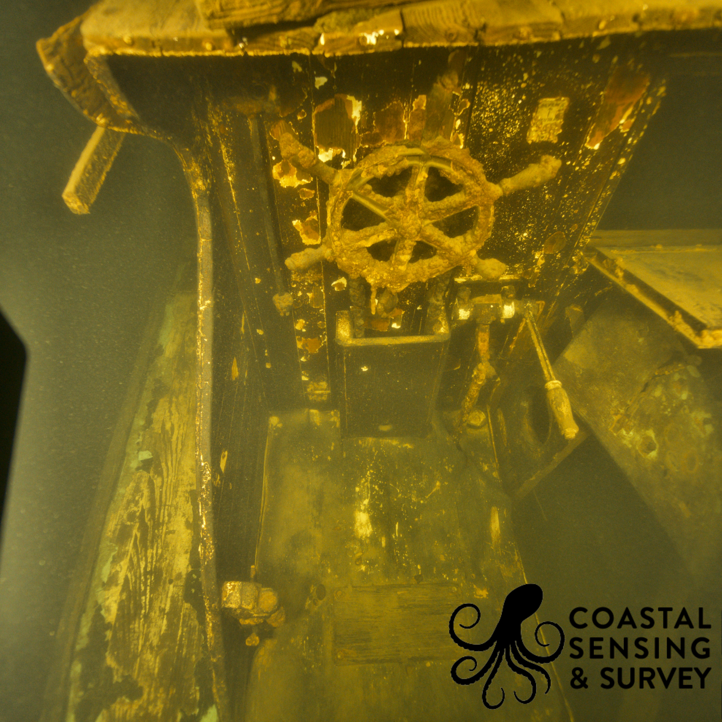
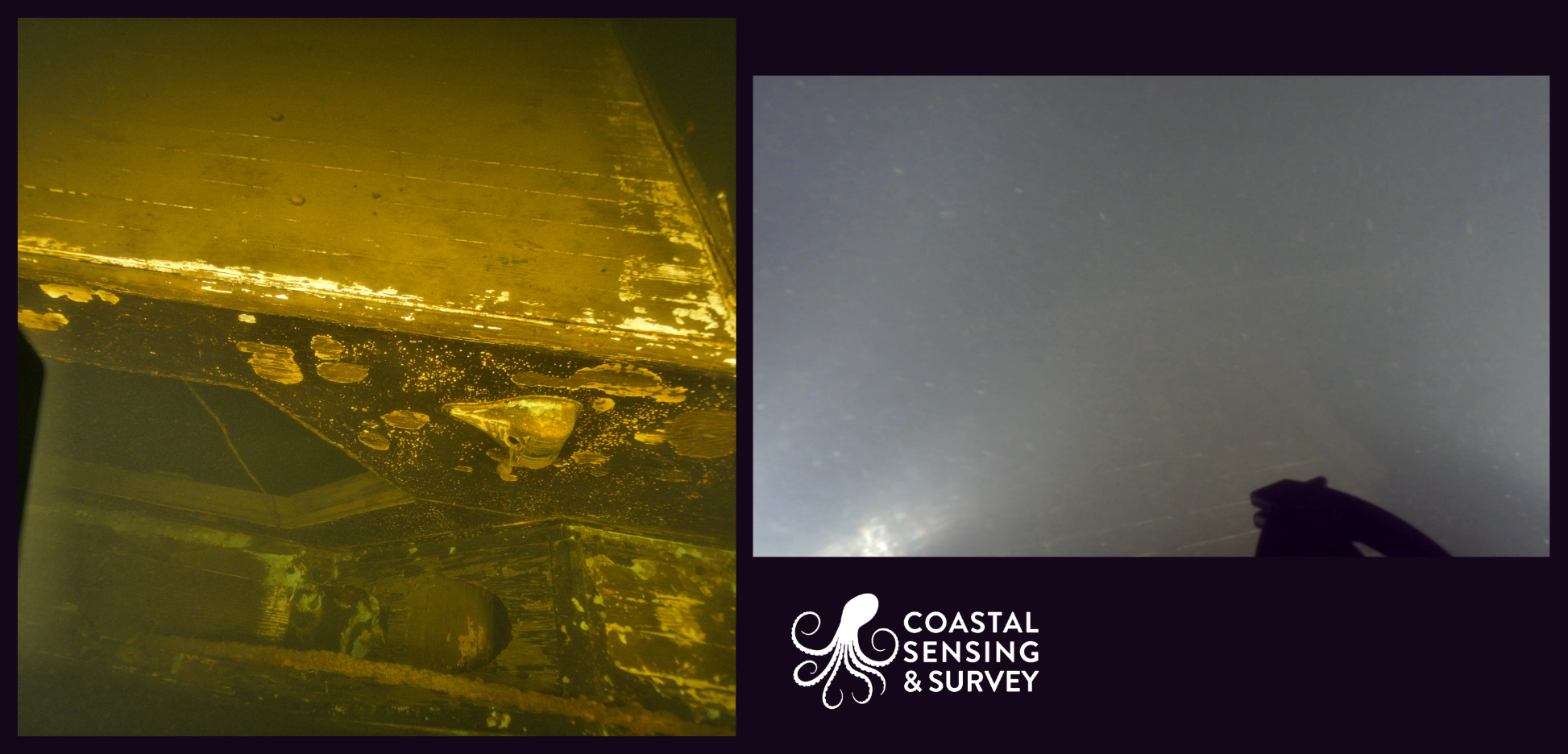
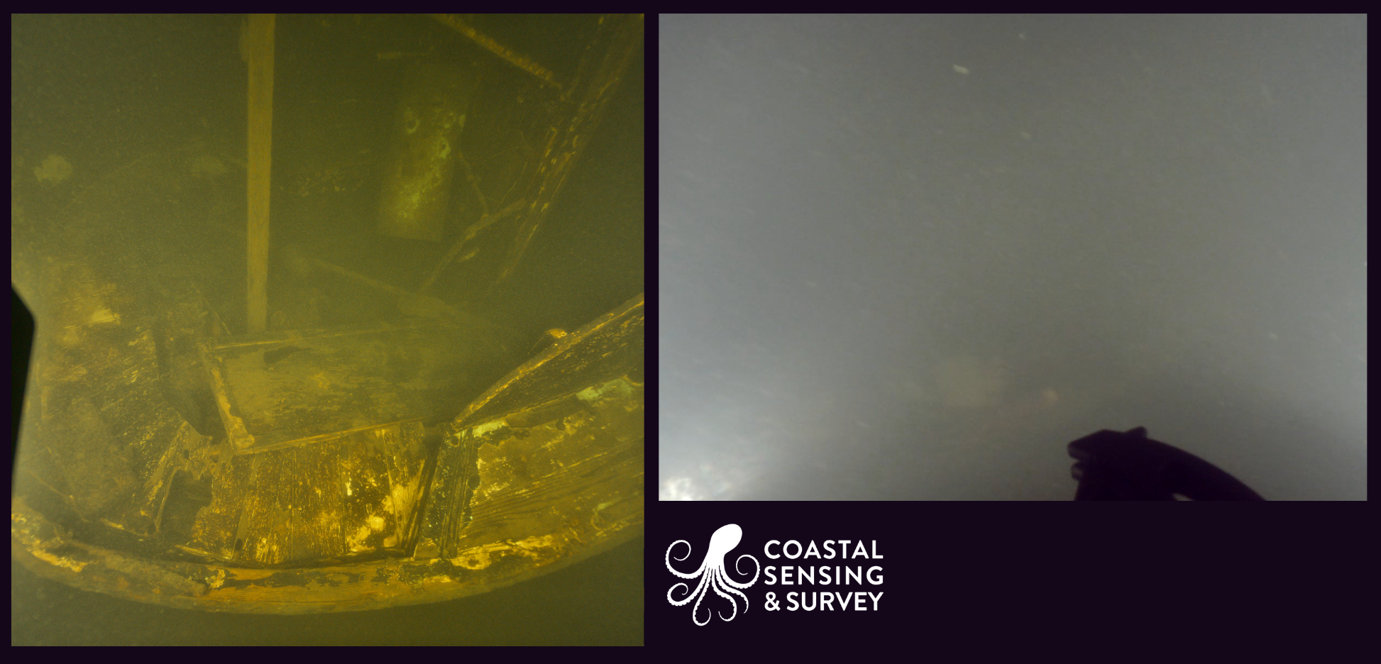
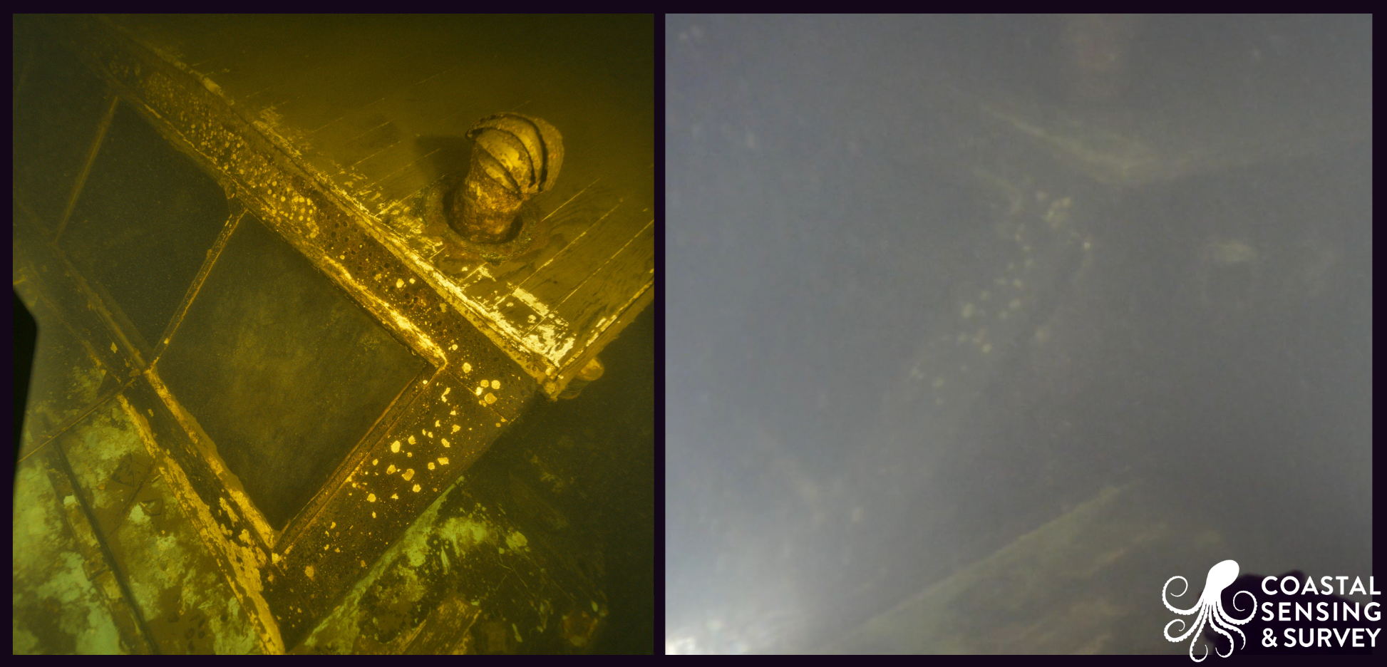
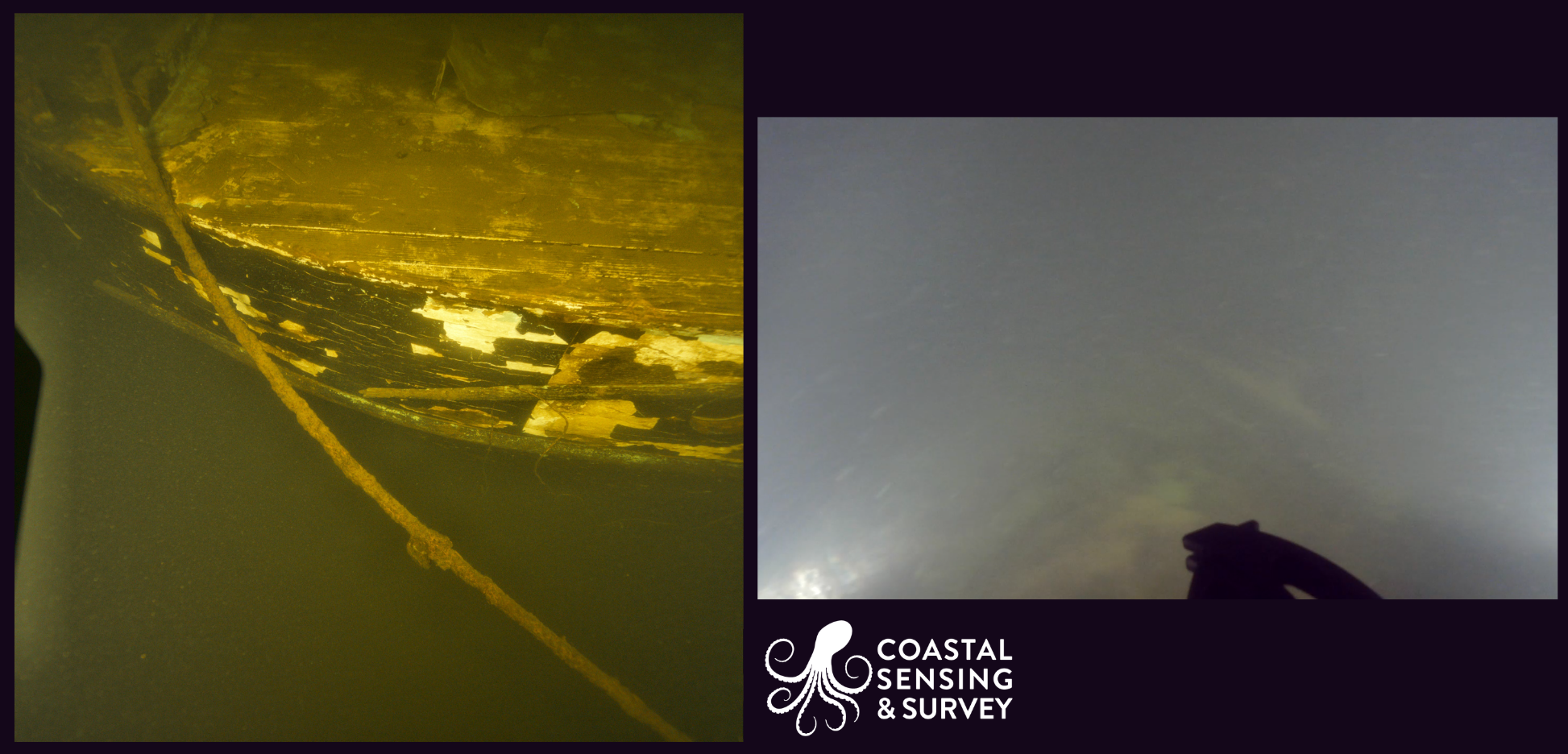
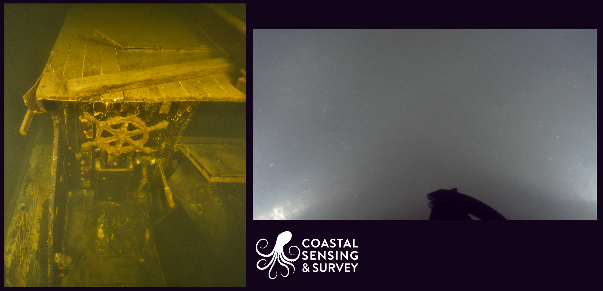
Photogrammetry Gallery
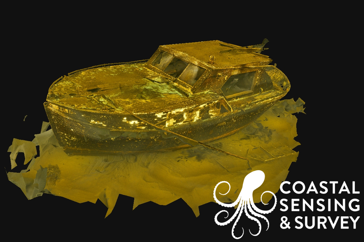
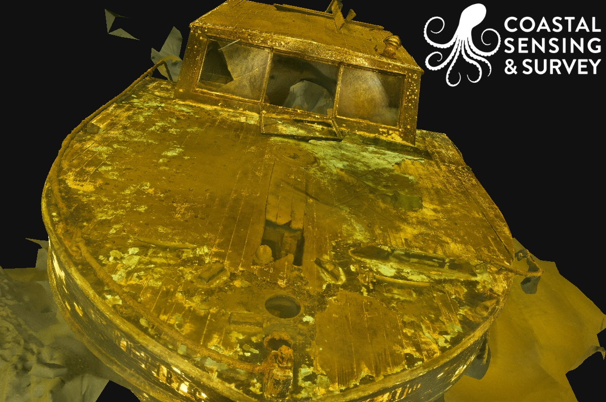
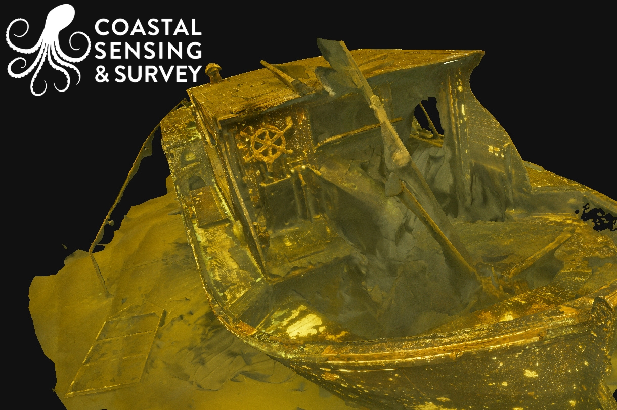
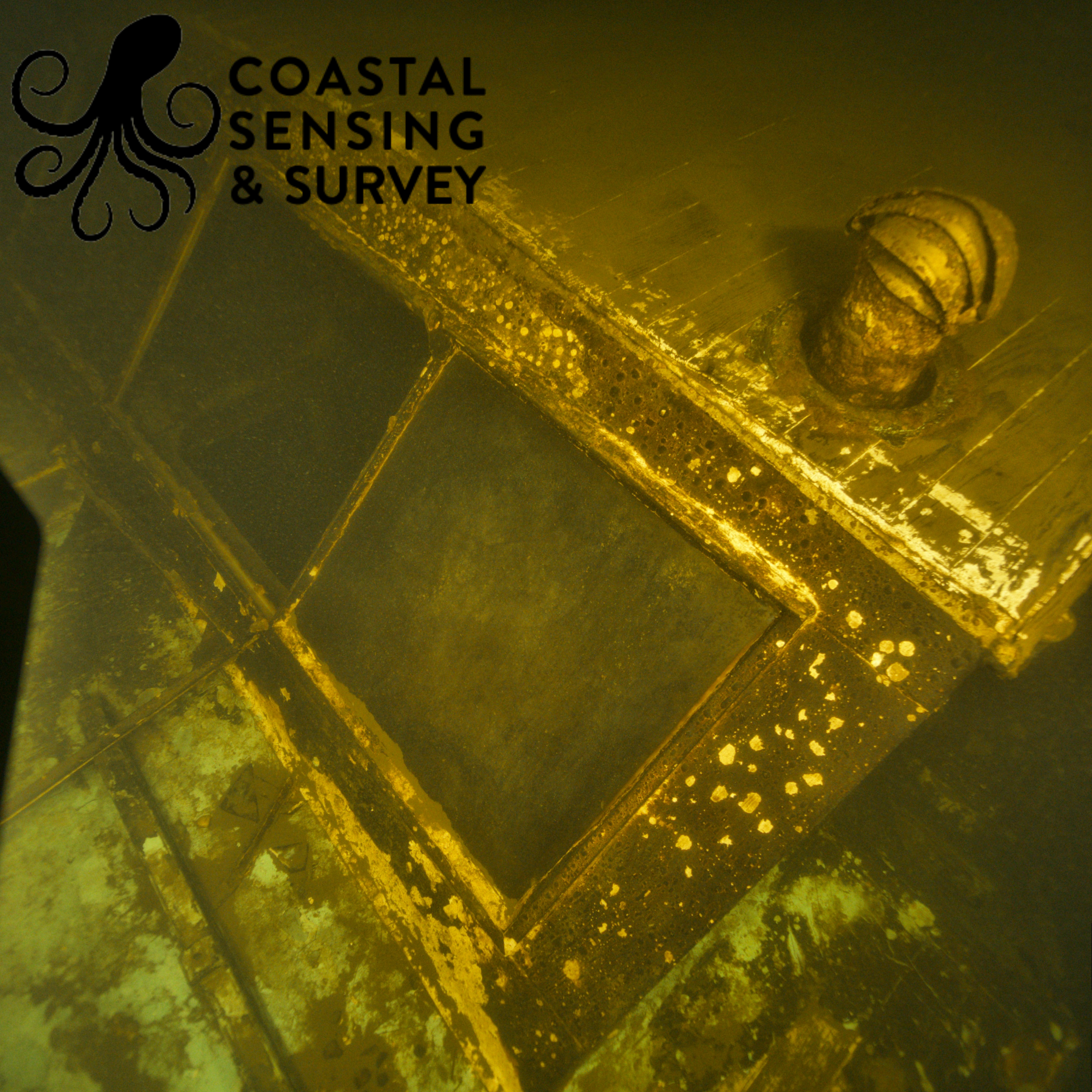
Photogrammetry captures high-resolution imagery that is processed into accurate, measurable 3D models of submerged environments. These models provide detailed visual documentation of structure and condition, allowing for close inspection and comparison over time. This gallery highlights how photogrammetry turns visual data into precise, actionable insight.
Learn more about photogrammetry and how we leverage this tech in our survey operations here.