Photogrammetry
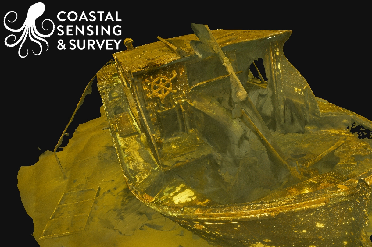
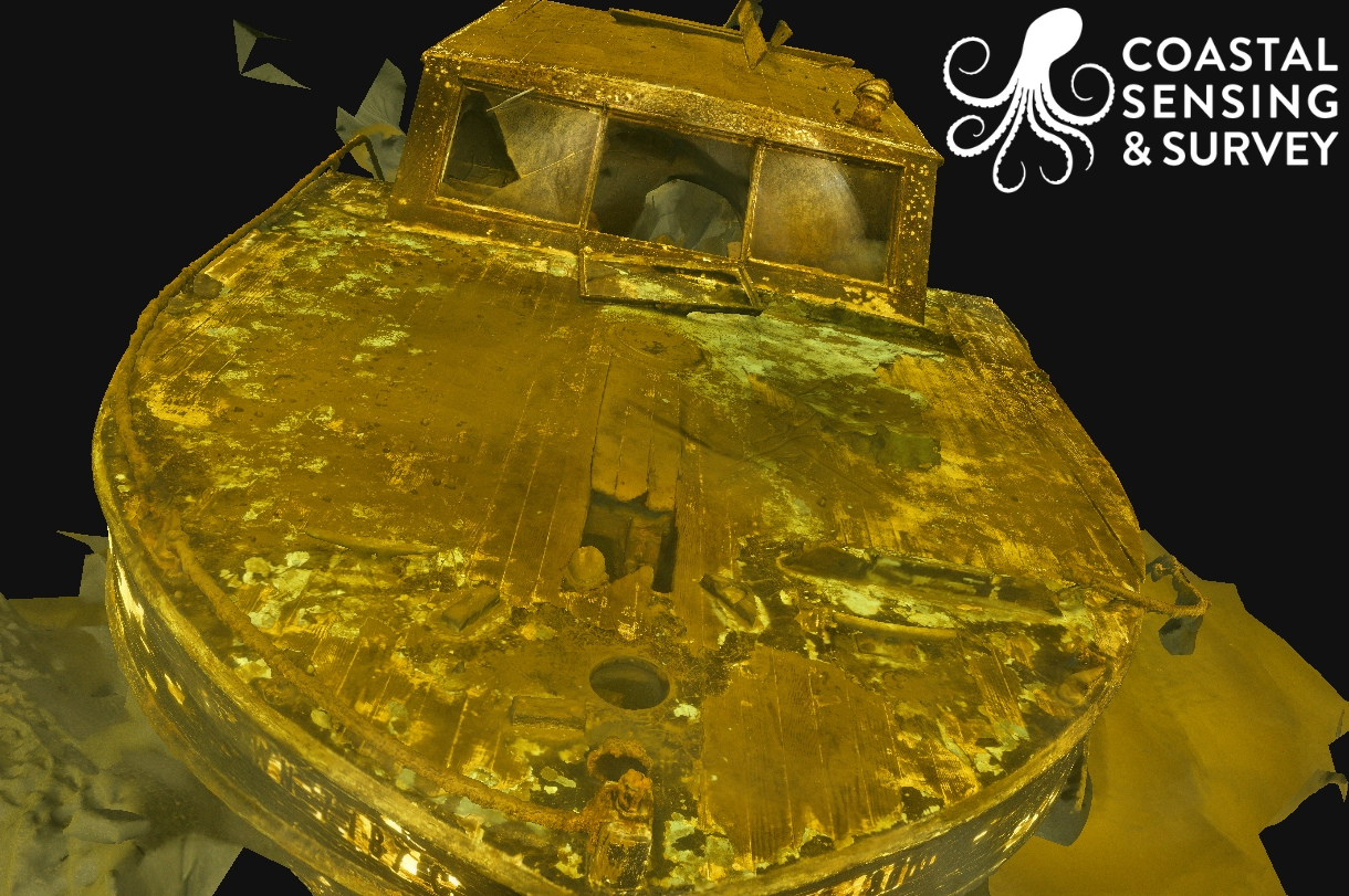
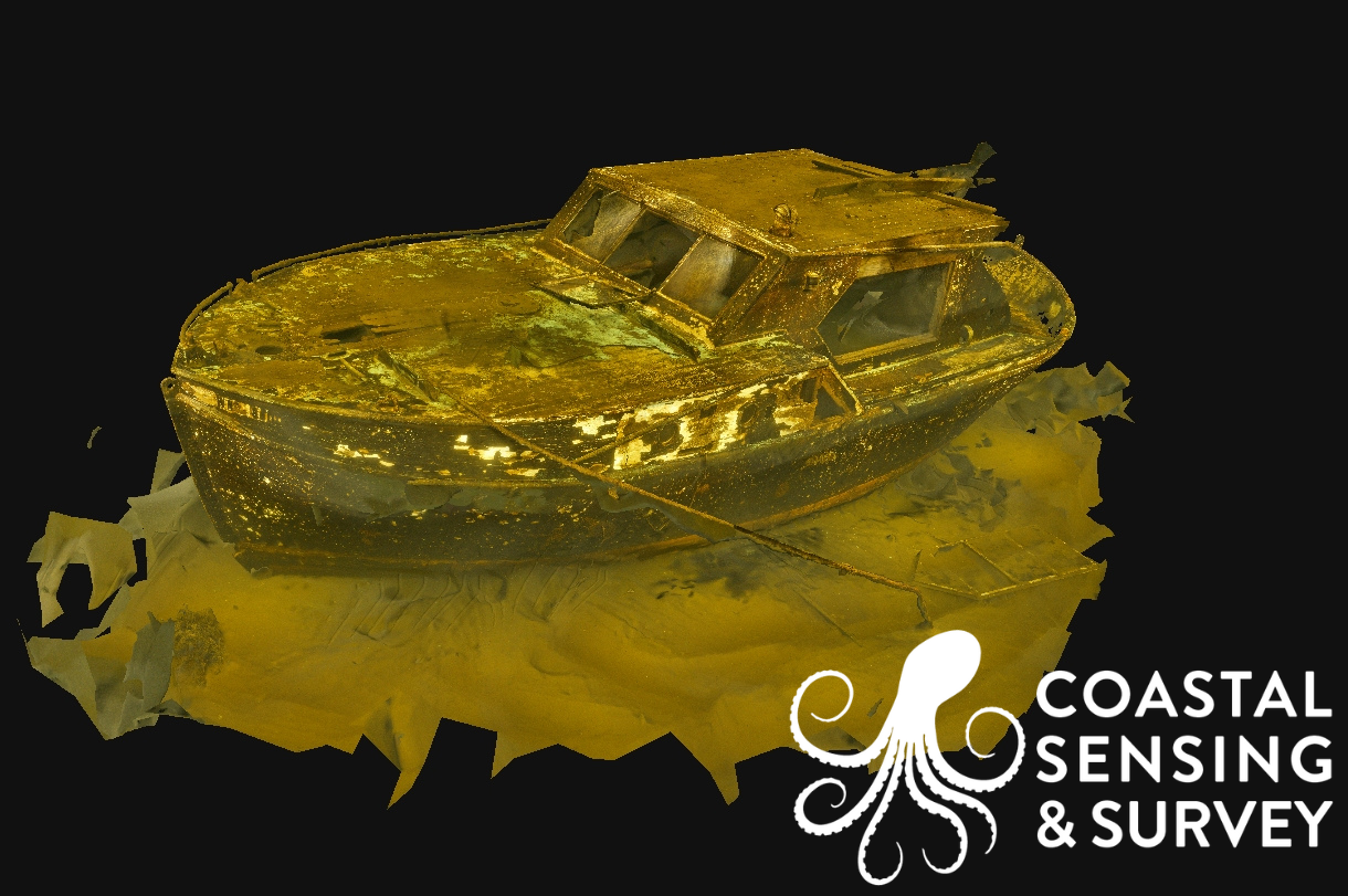
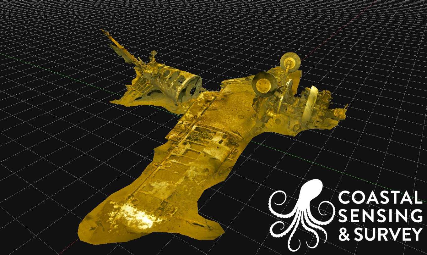
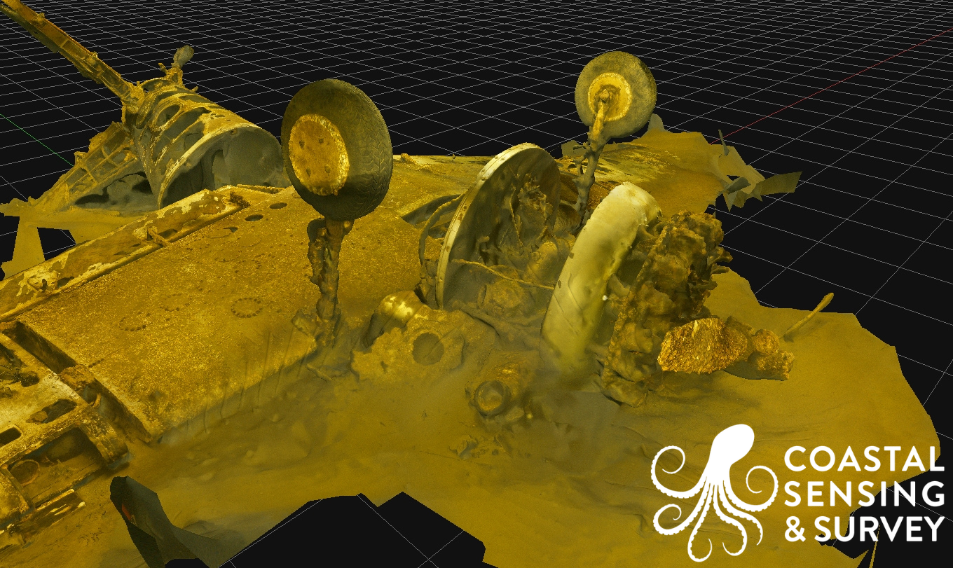
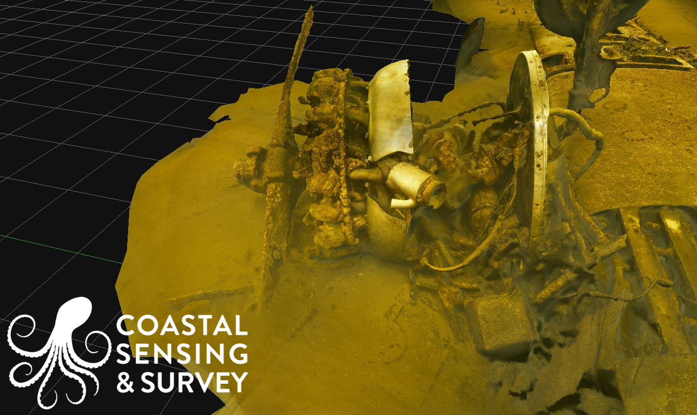
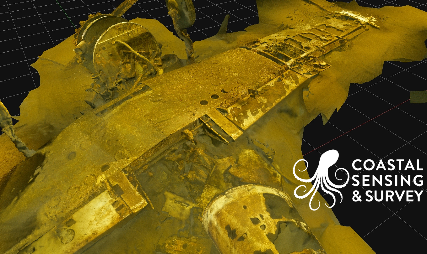
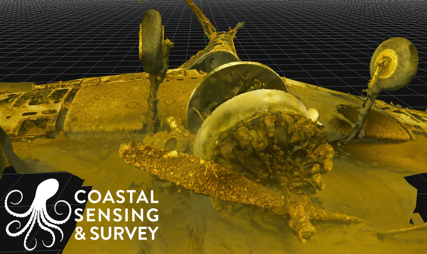
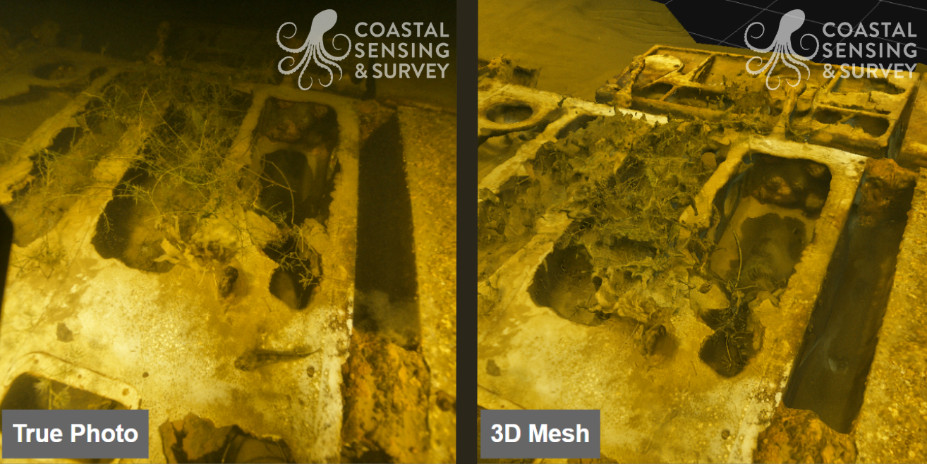
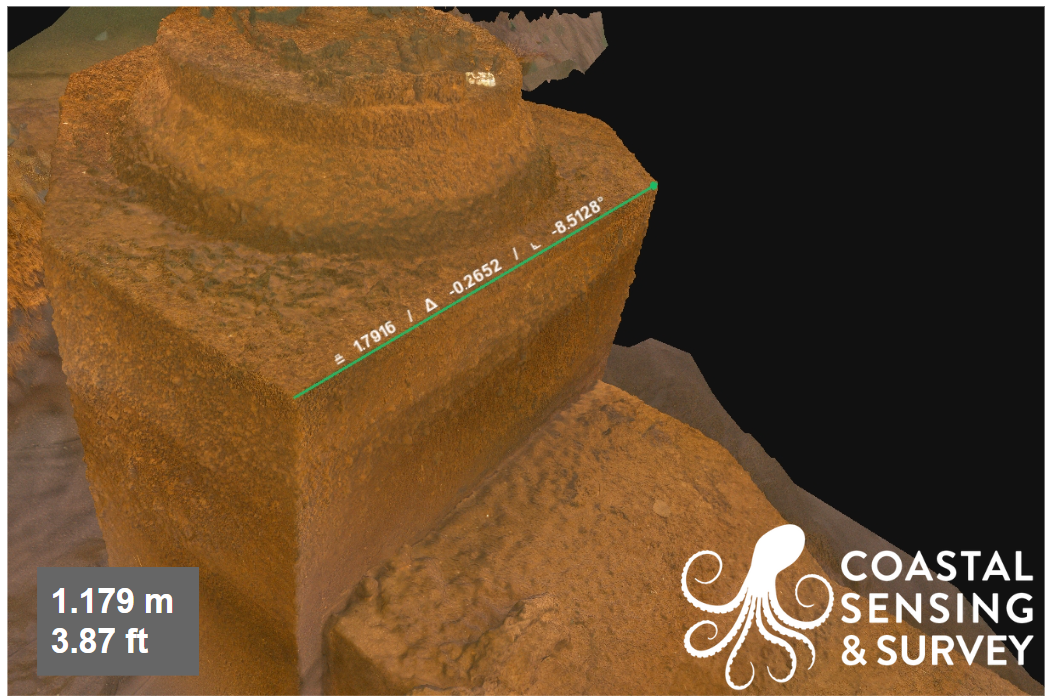
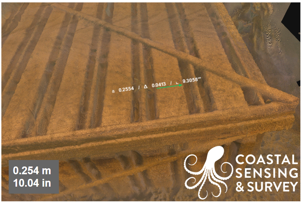
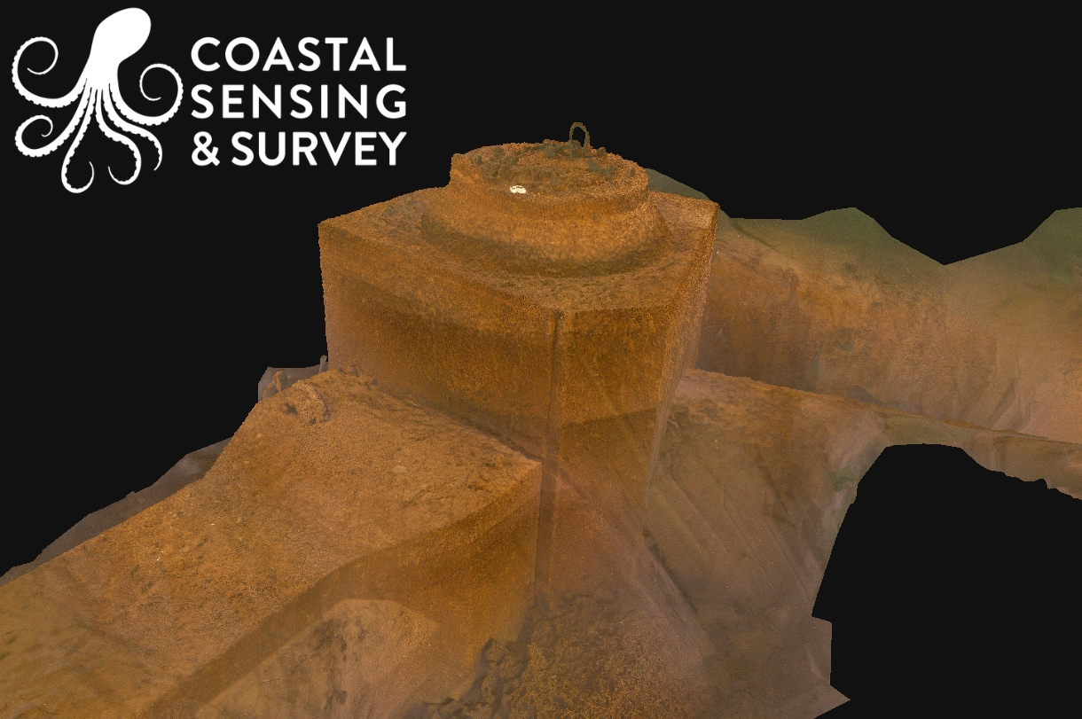
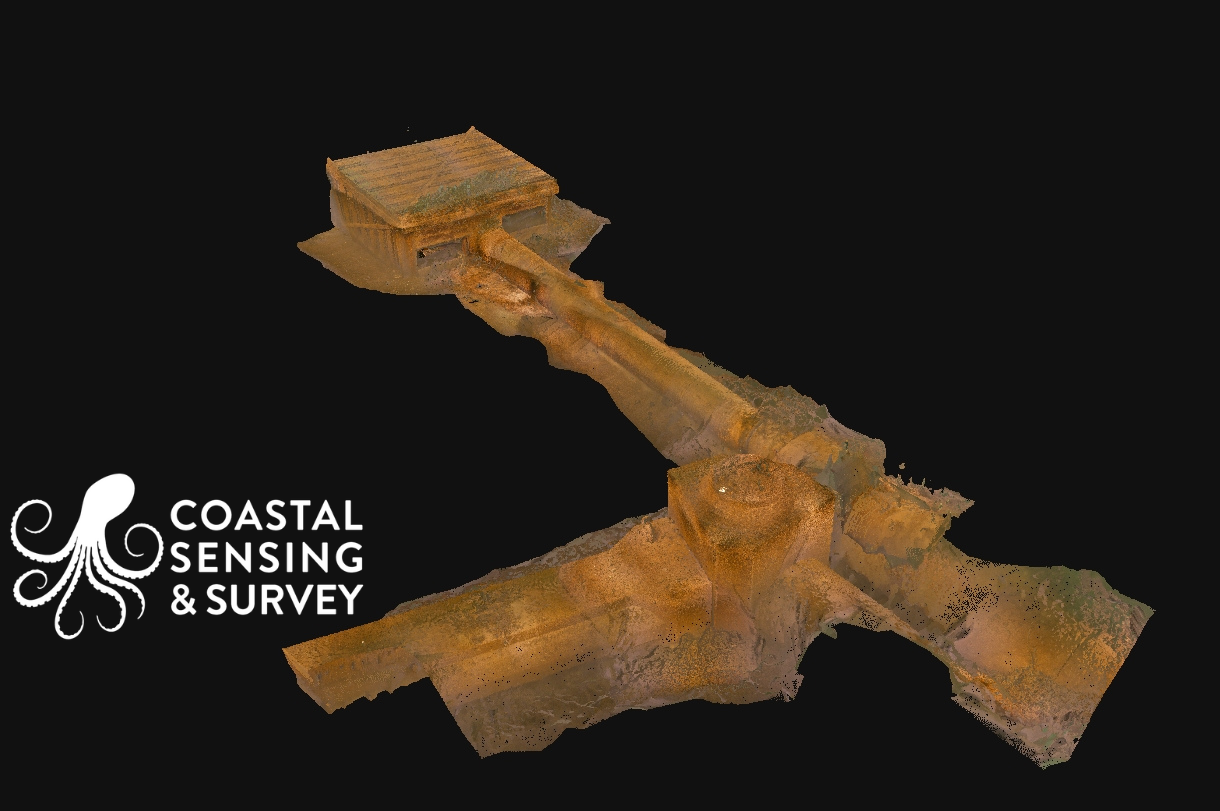
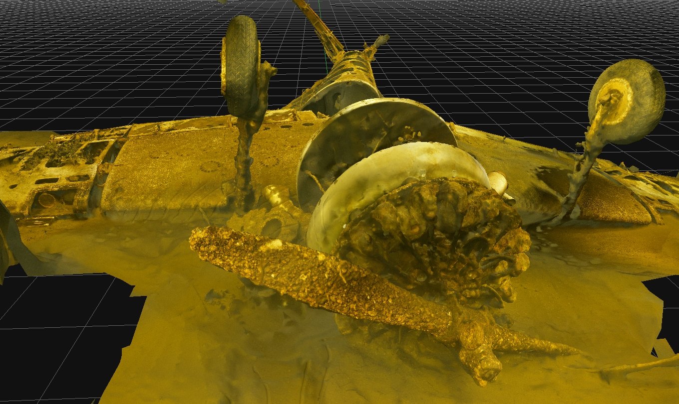
Underwater photogrammetry provides a true-to-life, measurable 3D record of submerged environments. Using the Voyis Discovery Stereo I4000 Inspection Series, we capture high-resolution, calibrated imagery that can be processed into detailed models of infrastructure, habitats, and complex underwater features. This approach allows us to resolve fine-scale condition details such as cracks, corrosion, scour, biological growth, and structural changes that may not be evident through sonar alone.
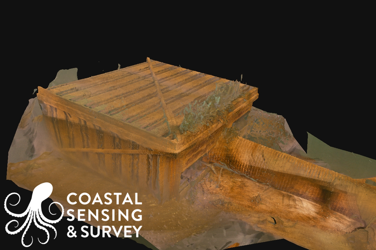
The result is a permanent digital record that supports inspection, monitoring, engineering analysis, and long-term asset management. Photogrammetry adds clarity and context to underwater environments by turning visual data into accurate, actionable insight.