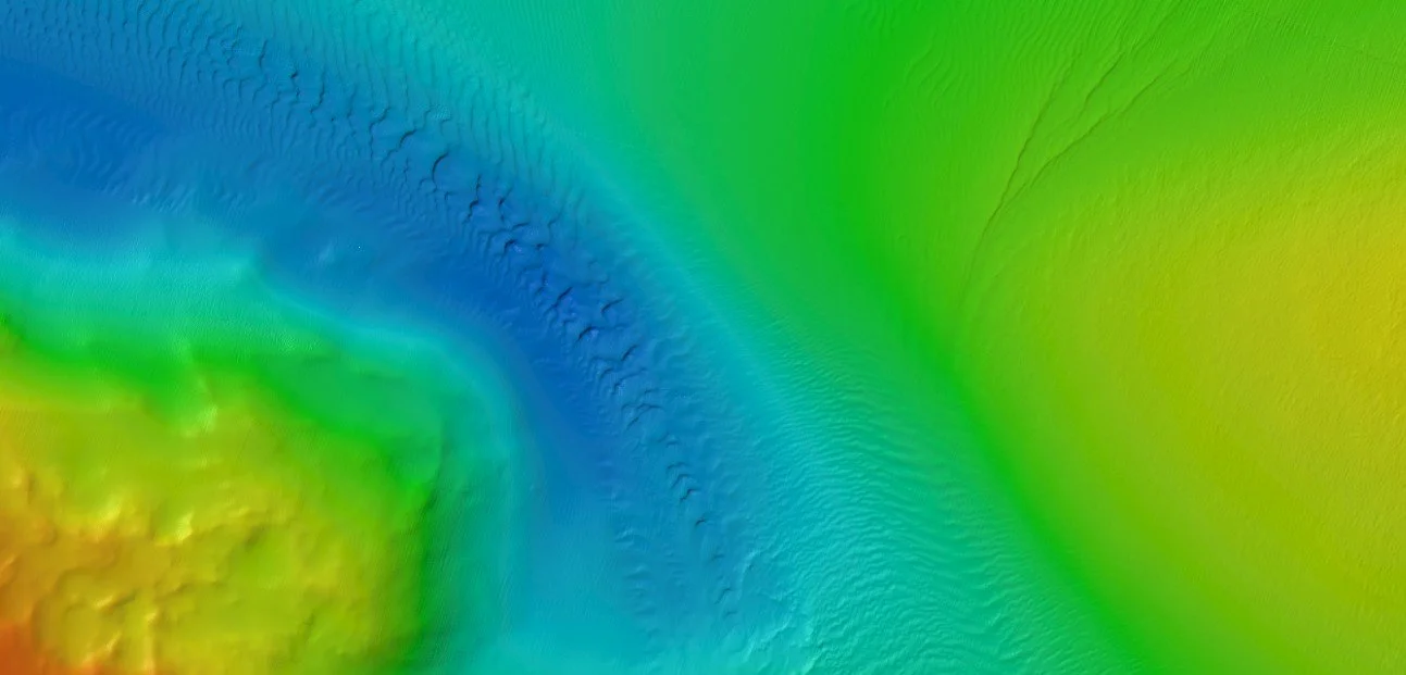
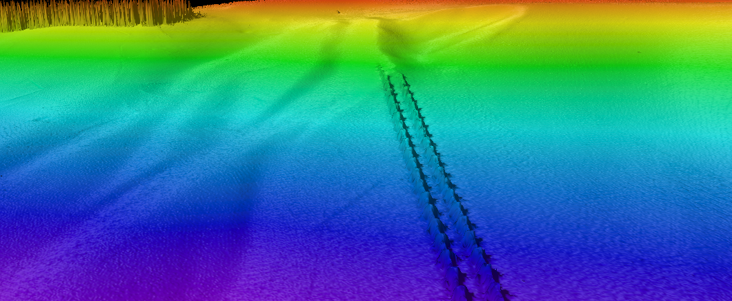
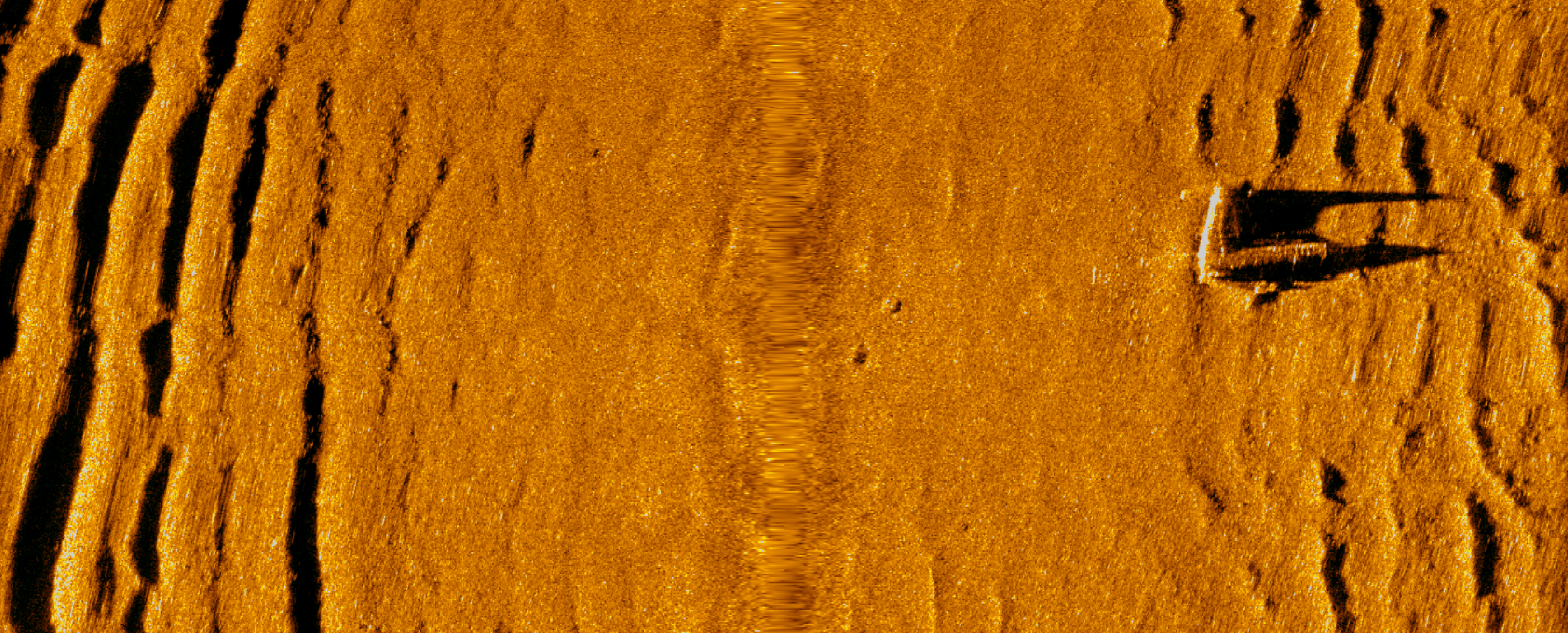
Deepwater & Rugged Terrain
Deepwater and Rugged Terrain survey can be difficult due to conditions becoming more complex, more technical, and more costly the deeper you move from the surface. These projects require specialized equipment, careful planning, and experienced teams to maintain data quality and operational safety. The ability to work comfortably in both nearshore and deepwater environments is less common, particularly when maintaining consistent standards across project phases. Providing that continuity helps reduce variability in datasets and simplifies coordination for complex programs. It allows clients to approach deepwater development, infrastructure, or research efforts with a clearer and more consistent understanding of site conditions.
Deepwater & rugged Terrain Imagery